
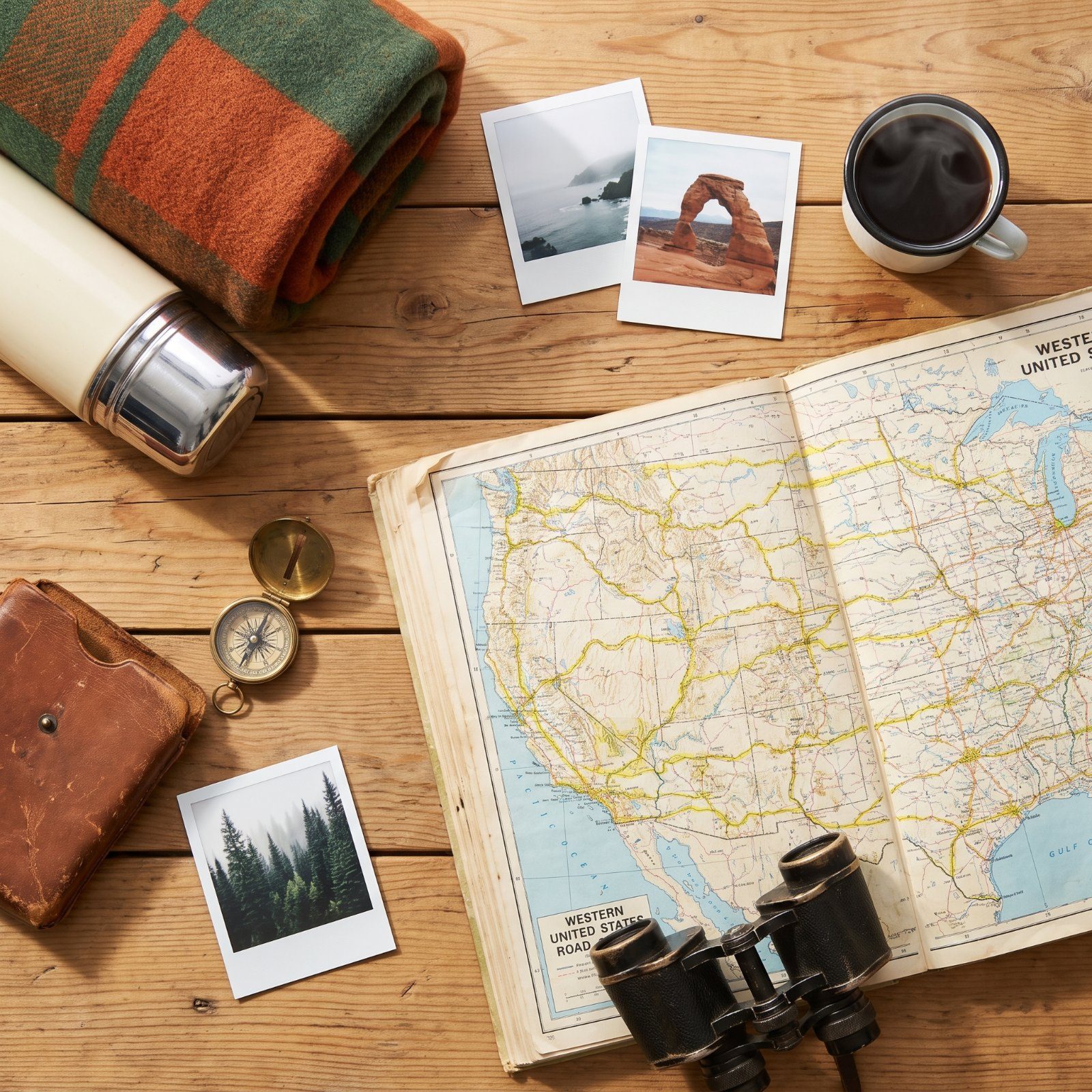
Your first RV itinerary becomes the yardstick for every trip after it. Pick wrong and you burn the honeymoon fighting narrow switchbacks and full campgrounds. Pick well and you learn how your rig handles grades, gravel, and a night parked under stars with no hookups. The routes below are the ones longtime travelers keep circling back to, and each one drills a different lesson into you about driving, camping, and what your RV can actually pull off. Start here.
47. Yellowstone and Grand Teton Loop: Geysers, Wildlife and Alpine Lakes
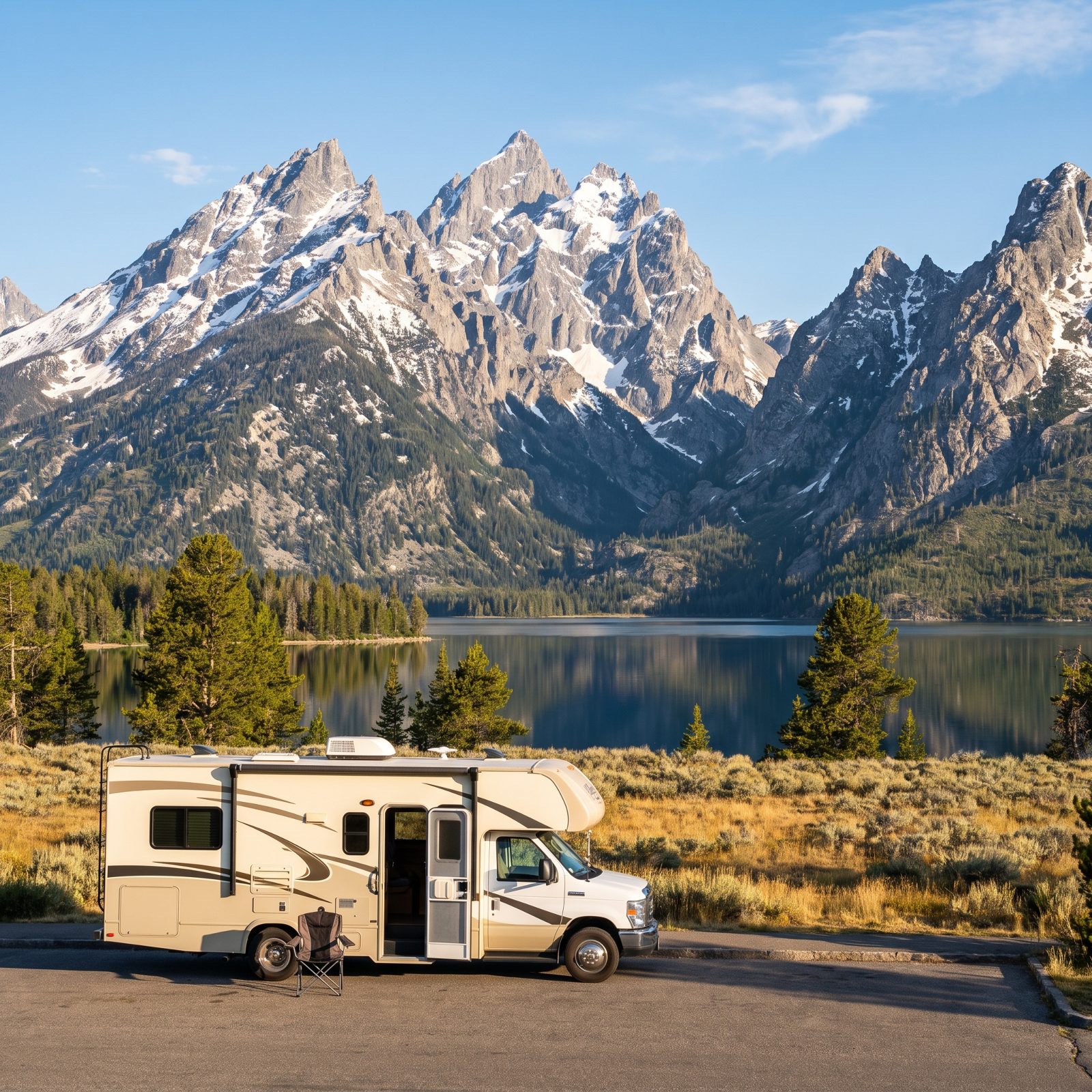
Start your first trip somewhere that rewards patience, because Yellowstone will absolutely test it. The figure-eight road system means bison jams that stop traffic cold, and no amount of leaning on the horn will move a herd one inch. That’s not a flaw. That’s the trip.
First-timers book the park’s interior campgrounds too late, and those fill a year out. Grab a Grand Teton site like Colter Bay or Signal Mountain — both handle rigs well — and day-trip north into Yellowstone’s geyser basins. You get the alpine lakes and the Tetons at dawn without throwing elbows for an interior spot.
46. Oregon Coast Highway 101: Astoria to Brookings Beside the Pacific
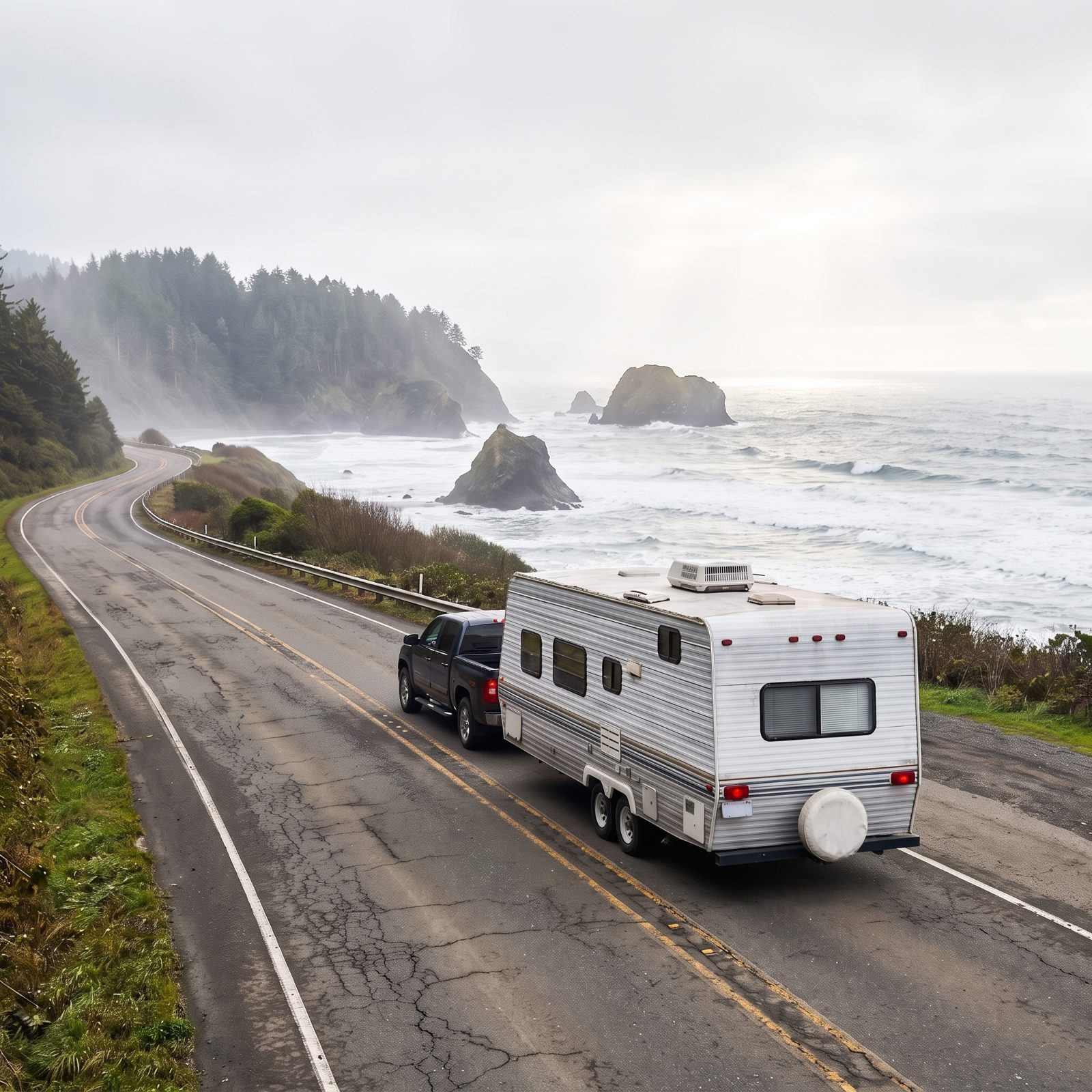
Highway 101 is the route that teaches you fog. Mornings arrive gray and soft, then burn off by noon into sea stacks and sand dunes. Don’t fight it. Build your driving around the lift.
The 363 miles from Astoria down to Brookings go slow, and honestly, they should. State park campgrounds like Cape Lookout and Harris Beach sit right on the water, and Oregon runs one of the best-kept park systems in the country for RVs. Book early. The coast fills up fast once July hits, while May and September hand you the same views with half the crowd.
45. Utah’s Mighty Five: One Route Linking All Five National Parks
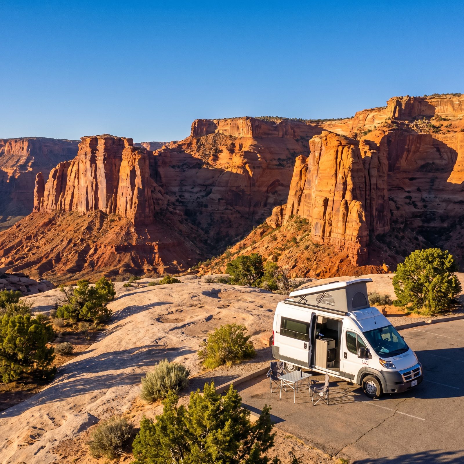
Five national parks, one loop, roughly 400 miles if you connect Zion, Bryce, Capitol Reef, Arches, and Canyonlands. It sounds like a greatest-hits reel, and it is. But the gap between parks is where the trip actually lives.
Here’s the catch people miss. Zion’s main canyon closes to private vehicles most of the year, so you park your rig and ride the shuttle. And that tunnel on the east side has a size limit that’ll cost oversize RVs an escort fee. Call ahead, know your height and width, and you’ll roll through without surprises.
44. Olympic Peninsula Loop: Rainforests, Beaches and Mountain Views in Washington
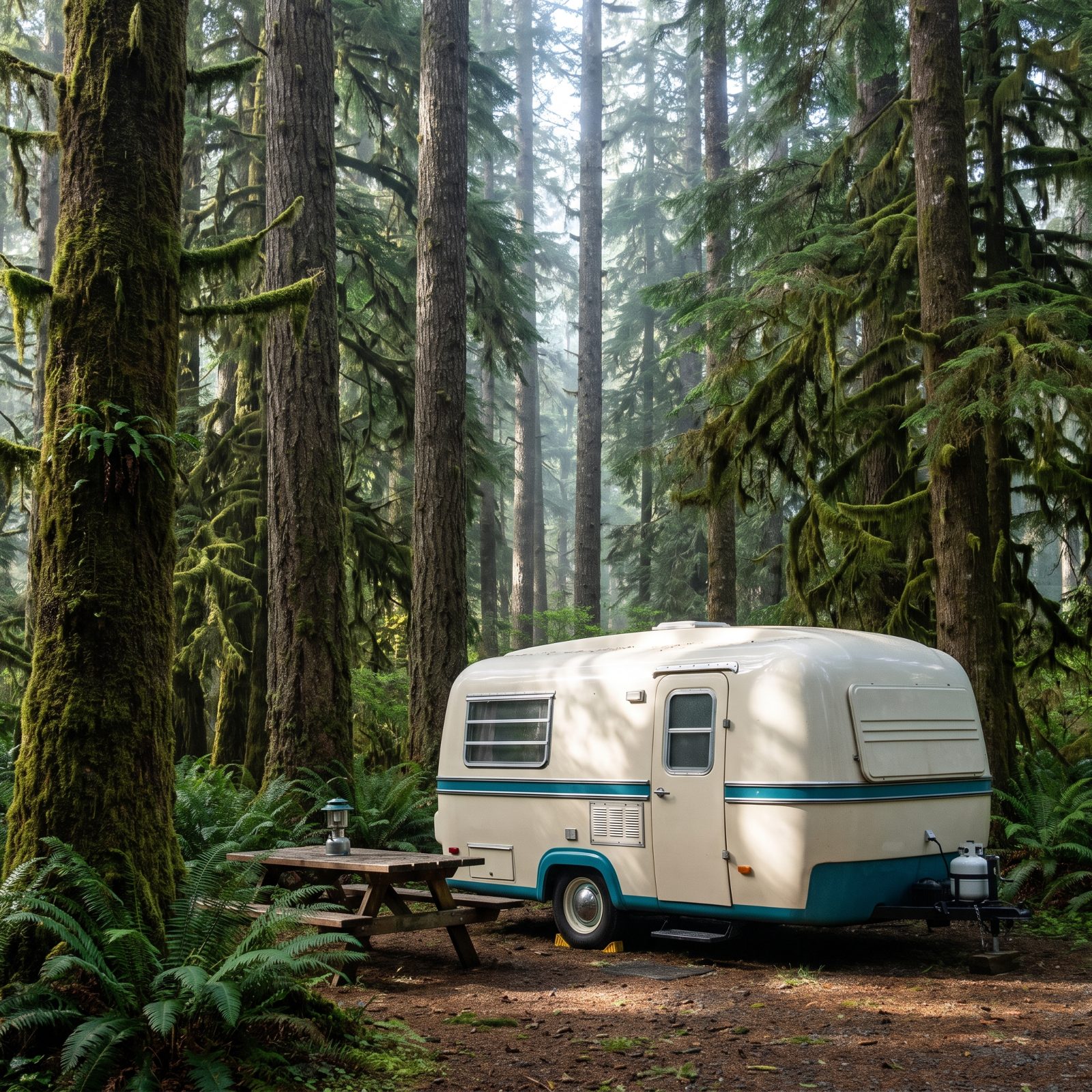
The Olympic Peninsula is really three trips stacked into one loop — a rainforest, a wild coastline, and a mountain pass, all circling US 101. You could touch all three in a long day, which is exactly the trap.
Rushing the Hoh Rainforest is the mistake. It deserves real time. The campground there has no hookups and limited space, so rigs over about 21 feet get tight. Stay a night at Kalaloch on the coast instead, then day-trip into the Hoh. Hurricane Ridge handles bigger RVs fine, but check the road status — winter closures and wildfire years have shut it before. The payoff up top is the whole peninsula laid out below you.
43. Redwood Highway: Northern California’s Avenue of the Giants
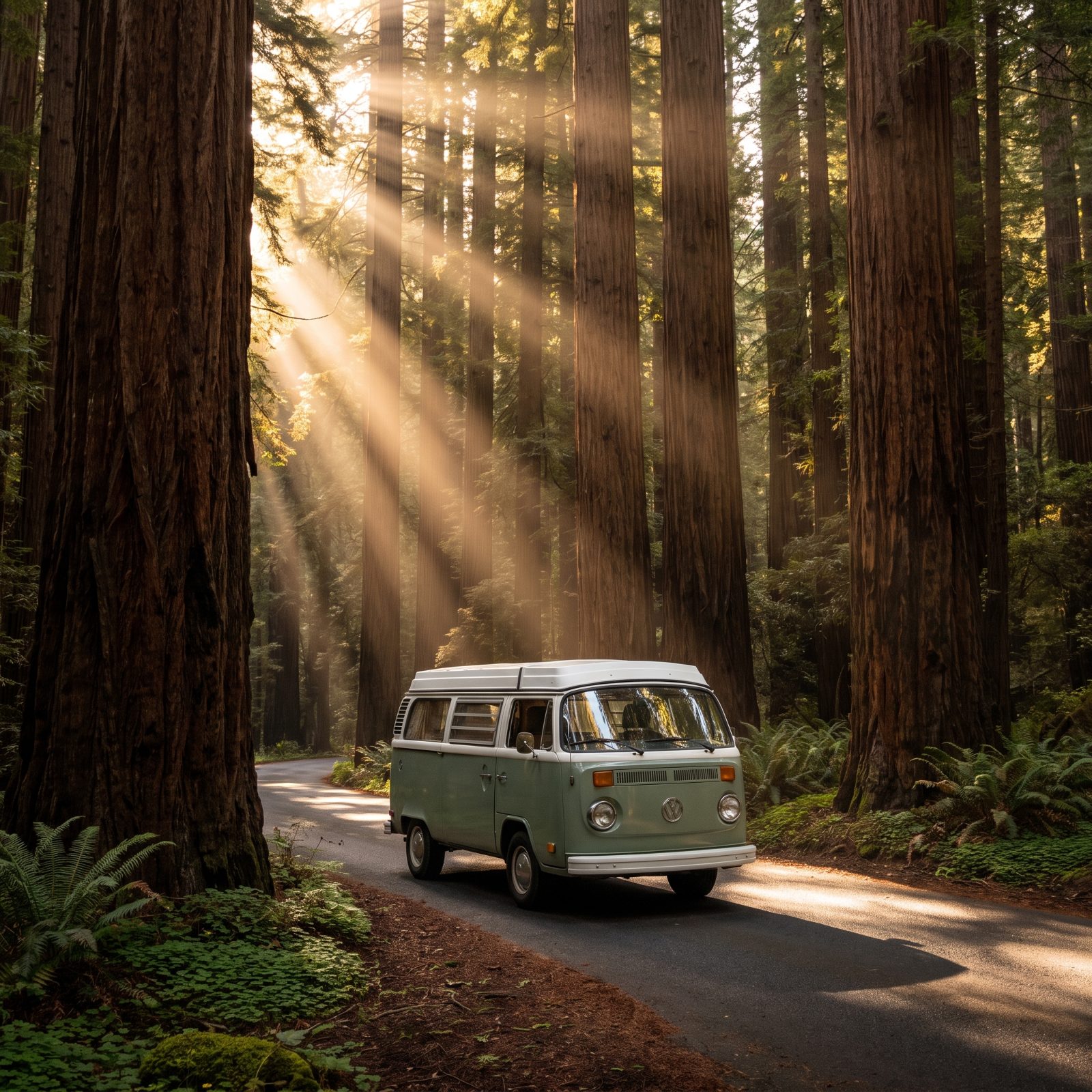
The Avenue of the Giants runs 31 miles parallel to US 101, and it’s the kind of road that makes you ease off the gas on purpose. You’ll crane your neck. Everyone does.
One honest warning: this is not the road for a 38-foot fifth wheel. The lane is narrow, the ancient trees press close, and those famous drive-through trees were cut for Model Ts, not modern rigs. Park at one of the groves — Founders or Rockefeller — and walk in. The trees feel bigger on foot anyway. Burlington and Hidden Springs campgrounds inside Humboldt Redwoods State Park take moderate RVs and put you to sleep under 300-foot trees.
42. Grand Canyon and Sedona Loop: Red Rocks, Pine Forests and Desert Vistas
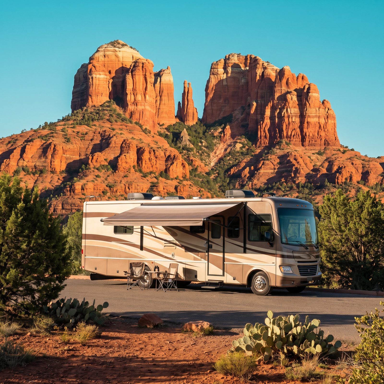
This loop surprises people with its range. You climb from Sedona’s red rock desert up through ponderosa pine around Flagstaff, then out to the Grand Canyon’s rim, gaining thousands of feet, and your engine feels every one of them.
The elevation is the lesson here. Summer days in Sedona push past 100 degrees while the canyon rim stays cool, so plan your sleeping spots by altitude, not just by views. Grand Canyon’s Mather Campground handles RVs well but books far ahead. Flagstaff makes a solid base with full-hookup parks and a shorter drive to both. Keep an eye on your coolant on the climbs — thin mountain air works your cooling system harder than you’d ever guess.
41. Overseas Highway: Miami to Key West Across the Florida Keys
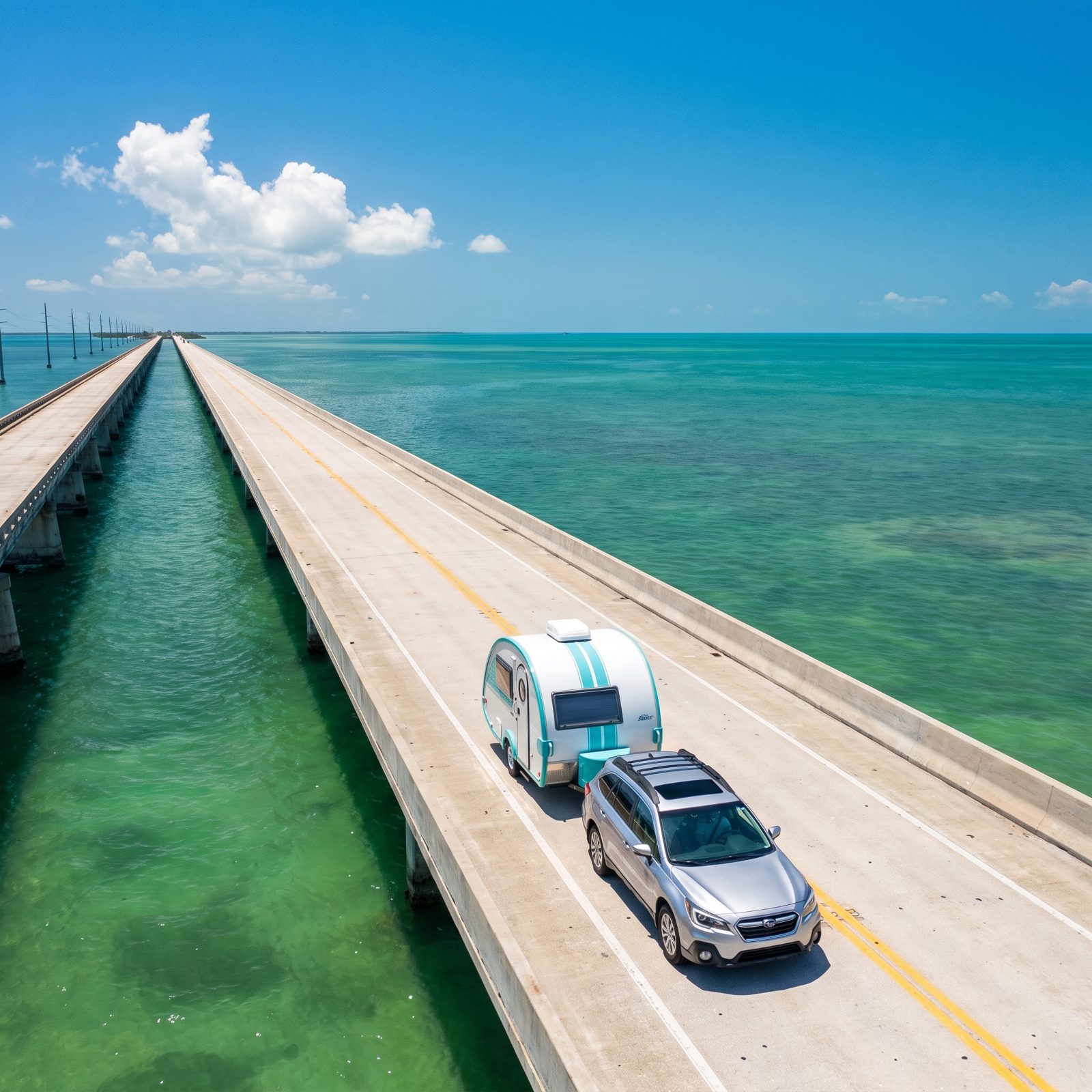
The Overseas Highway from Key Largo to Key West is 113 miles of islands strung on a single road, and crossing the Seven Mile Bridge with water on both sides is one of those moments you don’t forget.
But the Keys humble first-timers on two fronts: price and space. Oceanfront RV sites here run steep, and the good ones at Bahia Honda or Long Key state parks book out months ahead. Key West itself has almost nowhere to park a big rig, so stage in the Lower Keys and drive in with a smaller vehicle. And mind hurricane season. Late summer isn’t the time to dangle your rig at the end of a long bridge with one road out.
40. Alaska Highway: The Legendary Northern Drive From Dawson Creek to Delta Junction
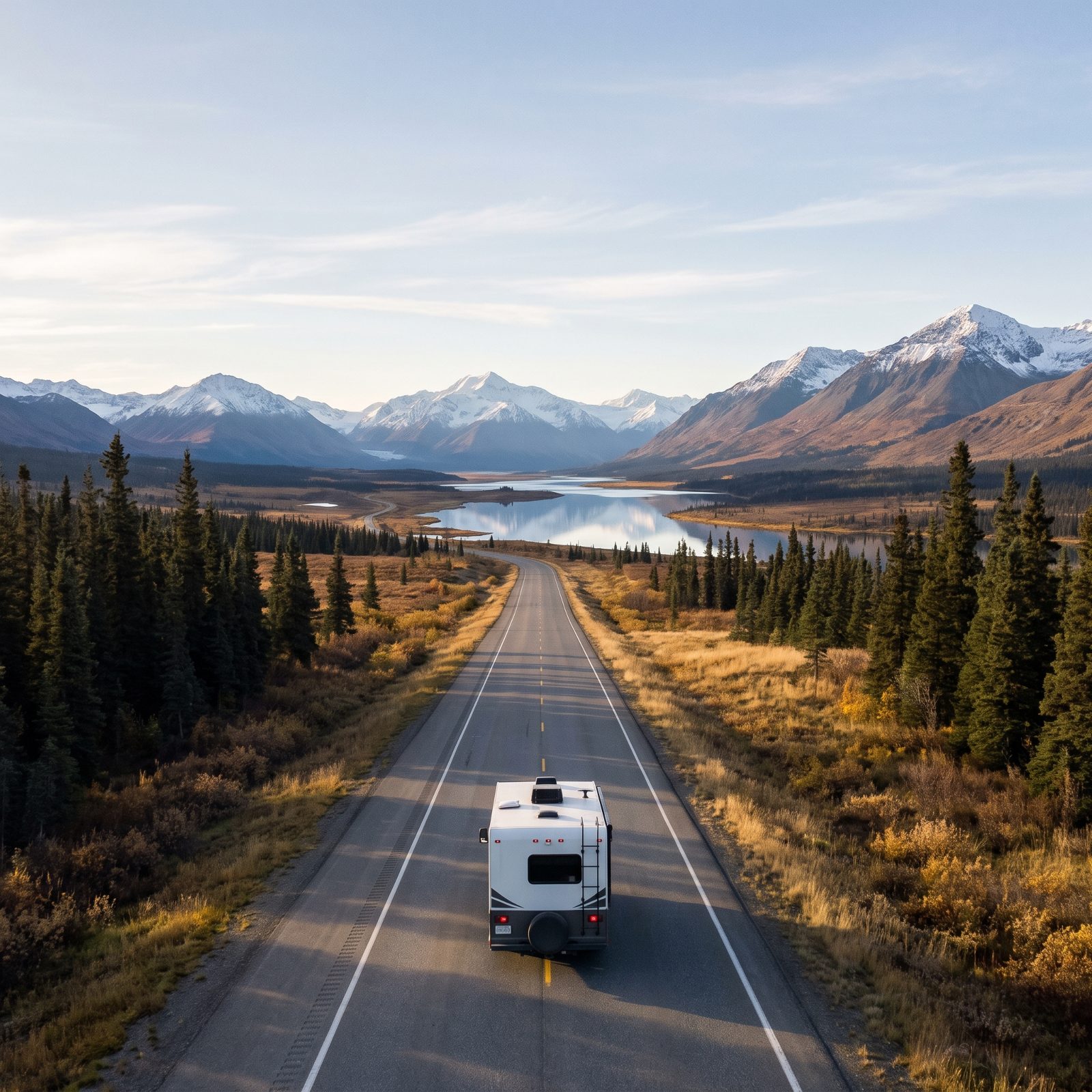
The Alaska Highway is the graduate course. Roughly 1,400 miles from Dawson Creek, British Columbia, to Delta Junction, and it’s long, remote, and utterly unforgiving of sloppy planning. This is not a first-timer’s first week.
People underestimate the distances between fuel stops, and they underestimate the frost heaves — those dips where permafrost has buckled the pavement. Hit one at speed and it’ll rattle your fillings. Carry extra fuel, two good spare tires, and a paper map, because cell coverage disappears for hours at a stretch. Pick up a current copy of The Milepost; it lists every gas stop, campground, and services turnout along the whole route. Up here, that book is worth its weight.
39. Eastern Sierra Scenic Byway: US 395 From Lone Pine to Mono Lake
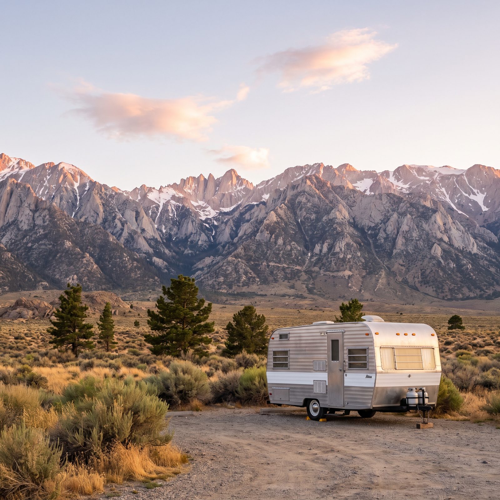
US 395 along the eastern wall of the Sierra is the route locals guard and tourists overlook. Mount Whitney, the tallest peak in the lower 48, hangs over Lone Pine, and the road runs north past hot springs, aspen groves, and the eerie tufa towers of Mono Lake.
What makes this drive quietly special is the dispersed camping. National forest land lines much of 395, and free primitive sites are everywhere if you’re set up for boondocking. The mistake is assuming hookups are nearby. Bishop is your main resupply. Fill your fresh water, dump before you head into the backcountry stretches, and you can spend days out here with the mountains to yourself.
38. Columbia River Gorge: Waterfalls and River Camps Along I-84
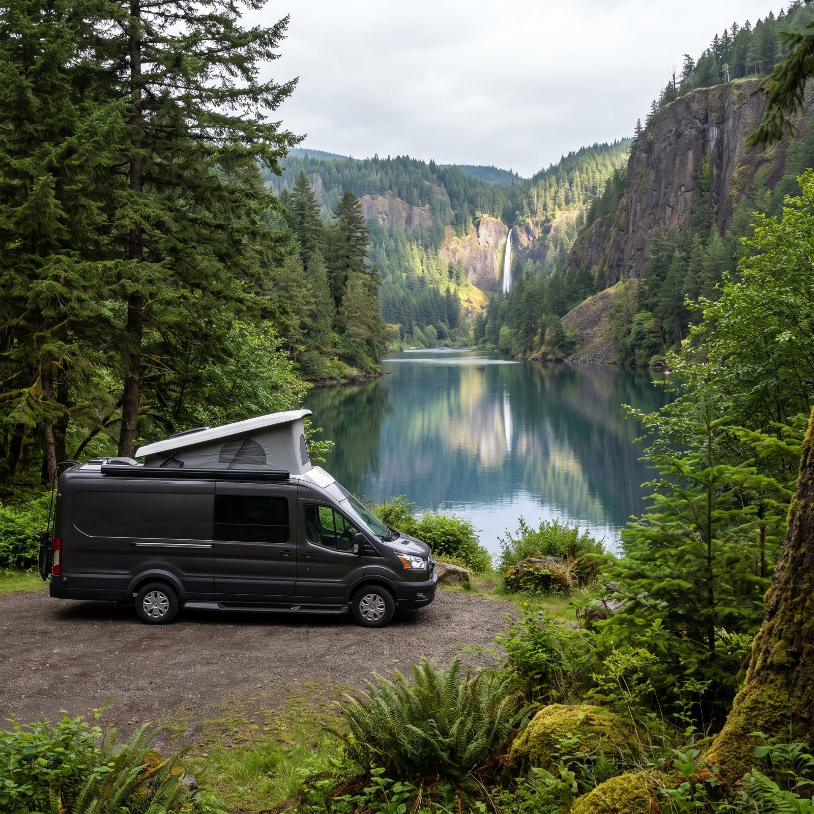
The Columbia River Gorge hands you a rare thing: epic scenery an easy highway away from a major city. I-84 runs right through it, with waterfalls like Multnomah pouring off basalt cliffs and the wide river beside you the whole way.
Here’s the trade-off for being close to Portland. The campgrounds book up fast and the famous waterfall lots jam solid by mid-morning on summer weekends. Go early or go on a weekday. Ainsworth and Memaloose state parks put you along the river with full hookups and a short hop to the big sights. For a first trip, the Gorge is forgiving — short distances, good roads, and a payoff that looks like it took far more effort to reach than it did.
37. Badlands to Black Hills: South Dakota’s Prairies, Spires and Pines
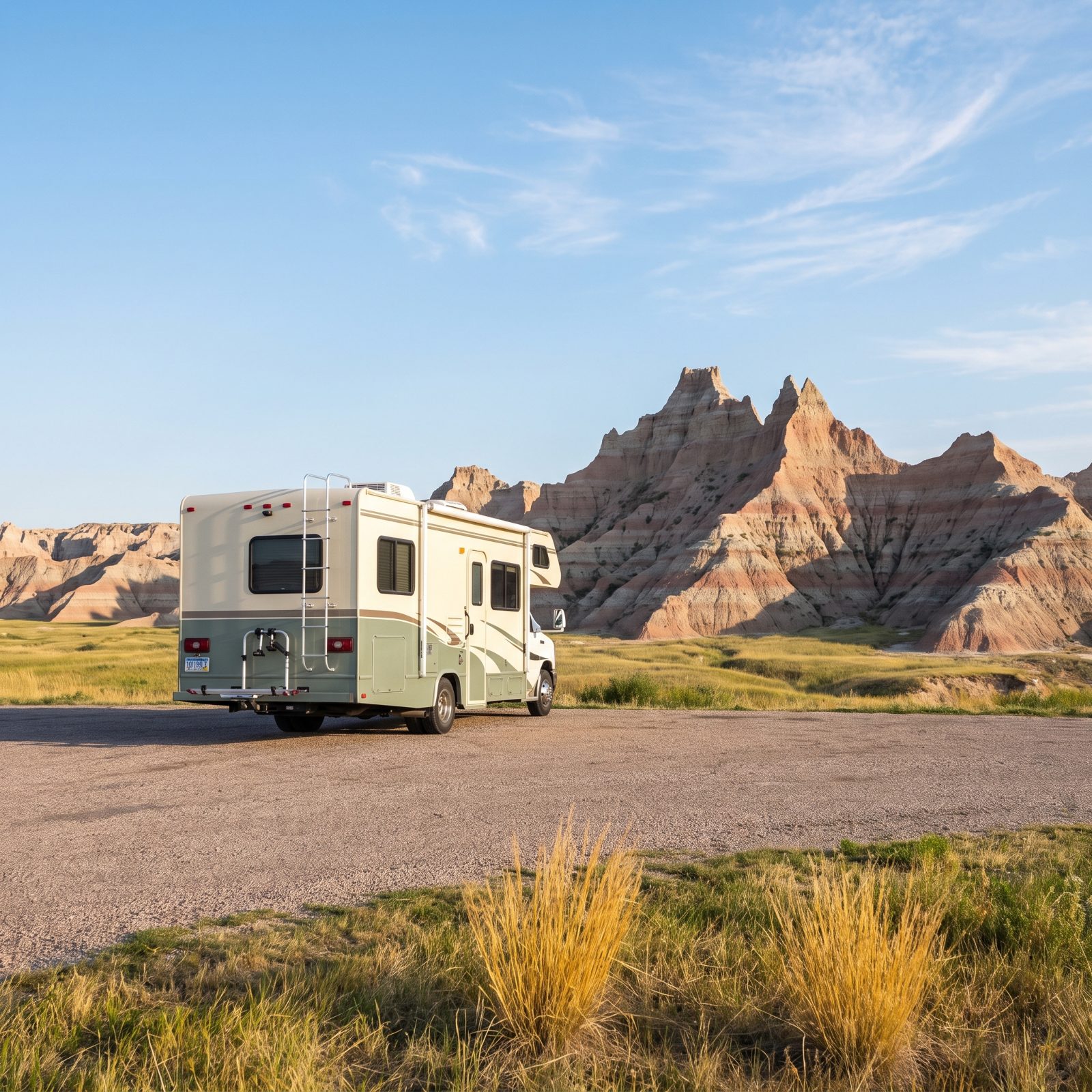
Start here if you’ve never done this before. The run from the Badlands to the Black Hills hands you two completely different worlds in under 100 miles, and the roads treat a rig gently the whole way.
You crawl out of the moonscape spires near Wall, roll through grassland where bison actually cross in front of you, then climb into the ponderosa pines around Custer and Hill City. The Badlands Loop Road is wide and well-graded. Save the narrow, tunneled stuff like Iron Mountain Road for a toad or a day trip — a long trailer and those pigtail bridges simply do not get along.
36. Big Bend Scenic Loop: Desert Mountains Along the Rio Grande
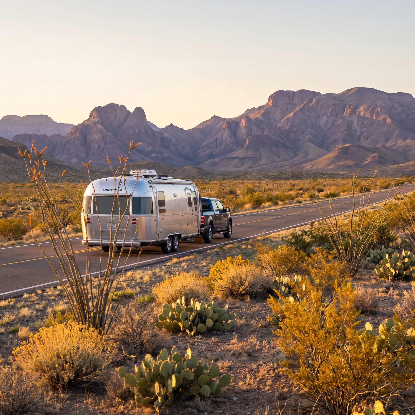
Remote is the whole appeal, and also the whole problem. Big Bend sits far from everything, which means you fuel up in Alpine or Marathon and you never leave with a half tank.
The loop through Terlingua, into the park, and down toward the Rio Grande serves up desert mountains, a river canyon you can wade right into, and night skies so dark the Milky Way throws a shadow. Rio Grande Village has an RV park with hookups. Cell service out here is more or less a rumor, so download your maps and tell someone your plan before you go quiet.
35. Maine Coastal Route 1: Lobster Harbors, Lighthouses and Rocky Shores
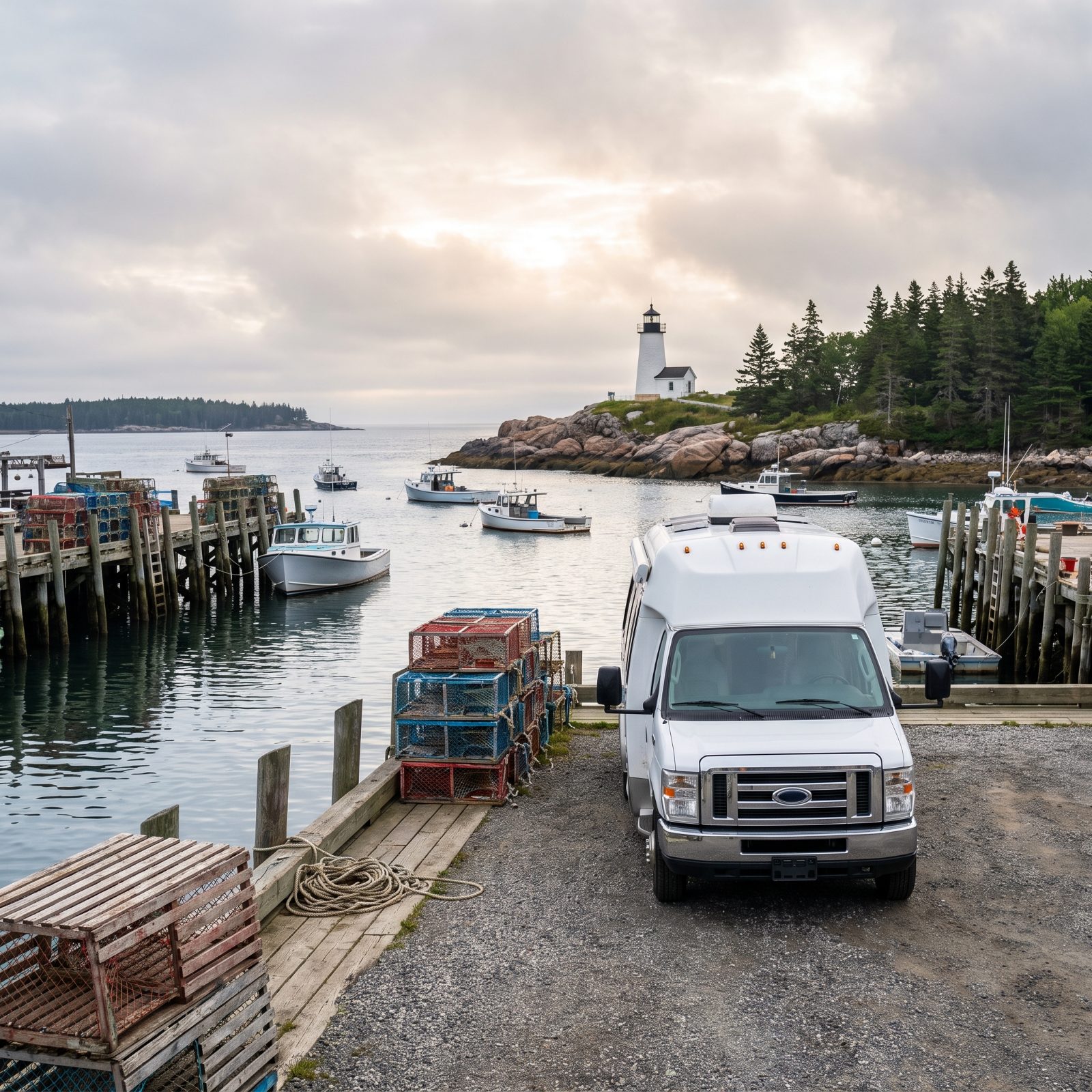
Route 1 up the Maine coast reads easy on a map and drives slow in reality. That’s a feature, not a bug.
The road threads through town after town — Freeport, Camden, Rockland, Bar Harbor — with narrow Main Streets, tight parking, and lobster shacks whose gravel lots may or may not swallow a big rig whole. A mid-size trailer or van is your friend here. And the reward never lets up: granite headlands, white lighthouses, a lobster roll at a picnic table within earshot of the boats that caught it.
34. Michigan Upper Peninsula Loop: Waterfalls, Lighthouses and Pictured Rocks

The U.P. is the part of Michigan people forget exists, and then never forget once they’ve been.
A loop around it piles up more waterfalls than you can reasonably stop for, a shoreline that fools you into thinking Superior is an ocean, and the sandstone cliffs at Pictured Rocks that look painted by hand. Roads are decent and uncrowded. The catch? Summer runs short and the bugs mean business, so late August into September hits the sweet spot — warm days, thinning crowds, and the first color coming on.
33. North Shore Scenic Drive: Duluth to Grand Portage Along Lake Superior
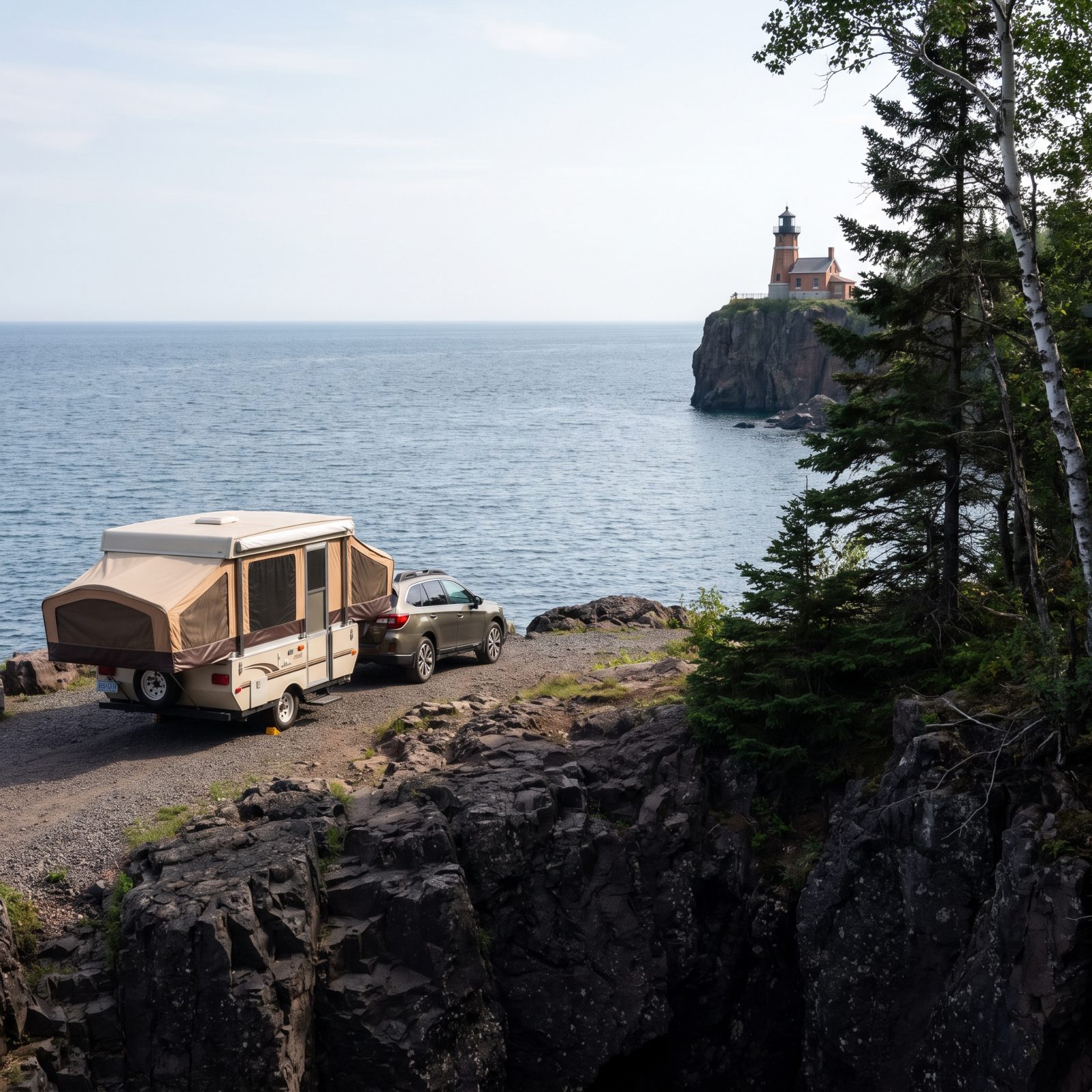
You leave Duluth, catch the first glimpse of Lake Superior, and your sense of scale quietly breaks. This is a lake that behaves like an ocean, weather systems and all.
Highway 61 up to Grand Portage is smooth and generous with pull-offs. Split Rock Lighthouse, Gooseberry Falls, Tettegouche, the Palisade Head cliffs — all within easy reach. State park campgrounds along here rank among the best-run anywhere, which makes this a dependable pick for a first big-water trip.
32. Sawtooth Scenic Byway: Idaho Mountain Towns and Alpine Lakes
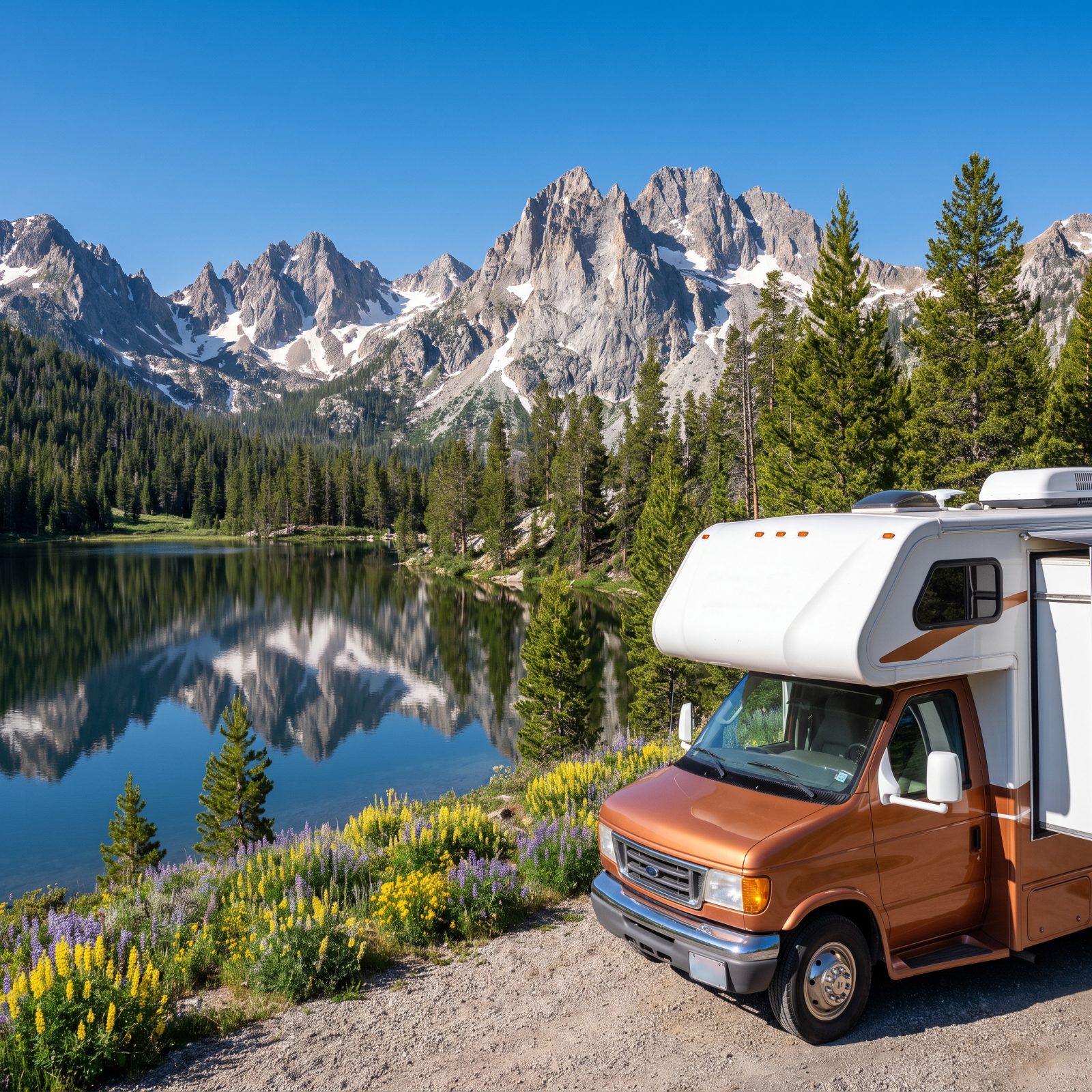
The Sawtooth Byway between Ketchum and Stanley is short — under 60 miles — and it’ll eat your whole day, because you’ll keep pulling over.
The peaks go vertical, the alpine lakes sit glass-still at dawn, and Stanley itself is barely a town, which is exactly its charm. Galena Summit is the one to respect. Drop to low gear on the way down and keep your speed off the brakes. Redfish Lake has a campground worth planning a whole trip around, so reserve it the second the window opens.
31. Volcanic Legacy Scenic Byway: Lassen Peak to Crater Lake
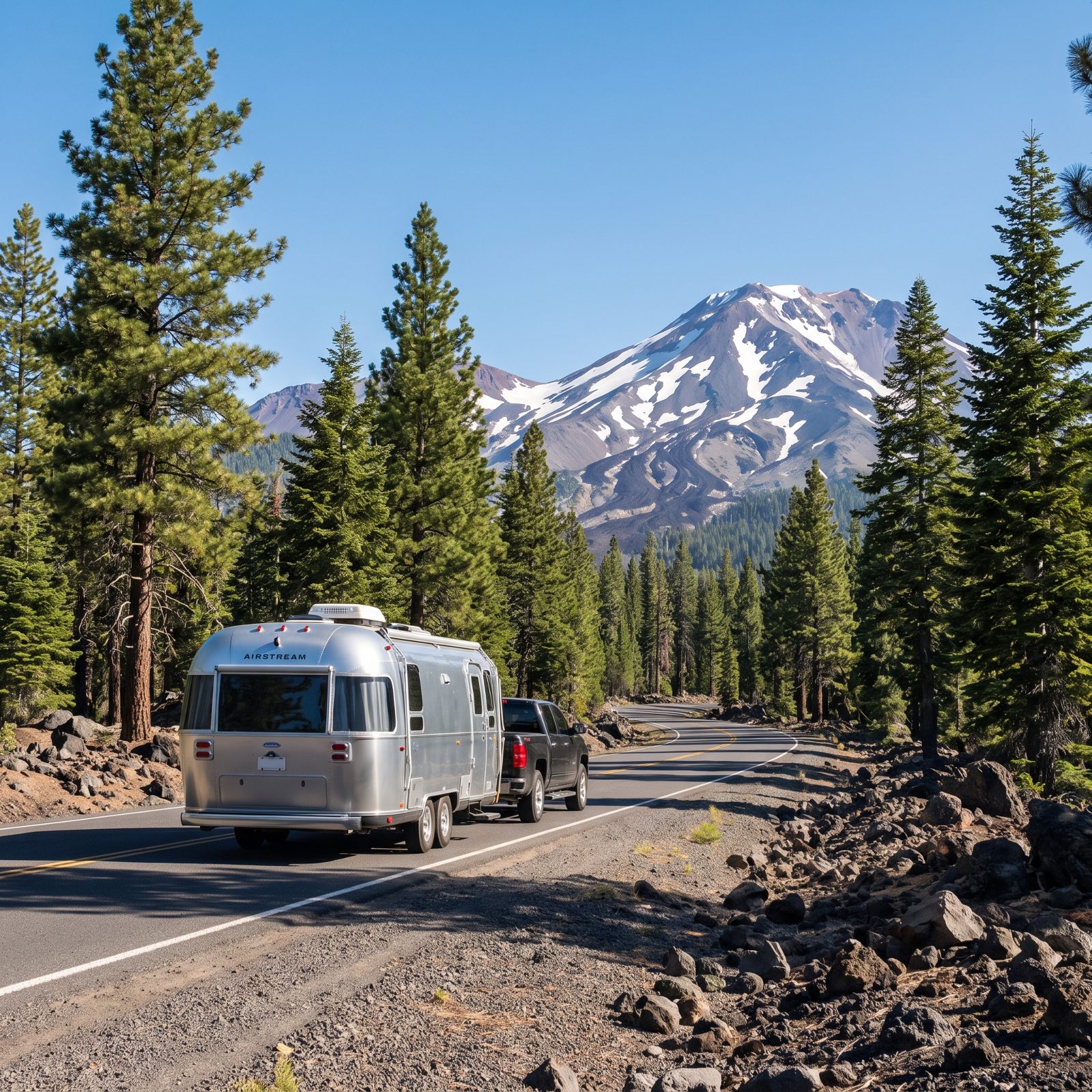
This one links two volcanic parks most people never think to connect: Lassen in California and Crater Lake in Oregon.
In between, you get bubbling mud pots, old lava flows, dense conifer forest, and finally that impossibly blue caldera lake that makes photographs look fake by comparison. Elevation is the thing to watch. Both parks sit high, so check snow dates before you commit — the good roads here open late and close early. Engines pull hard at altitude, too, so take the grades slow and give the cooling system room to breathe.
30. Joshua Tree to Anza-Borrego: A Two-Desert Southern California Journey
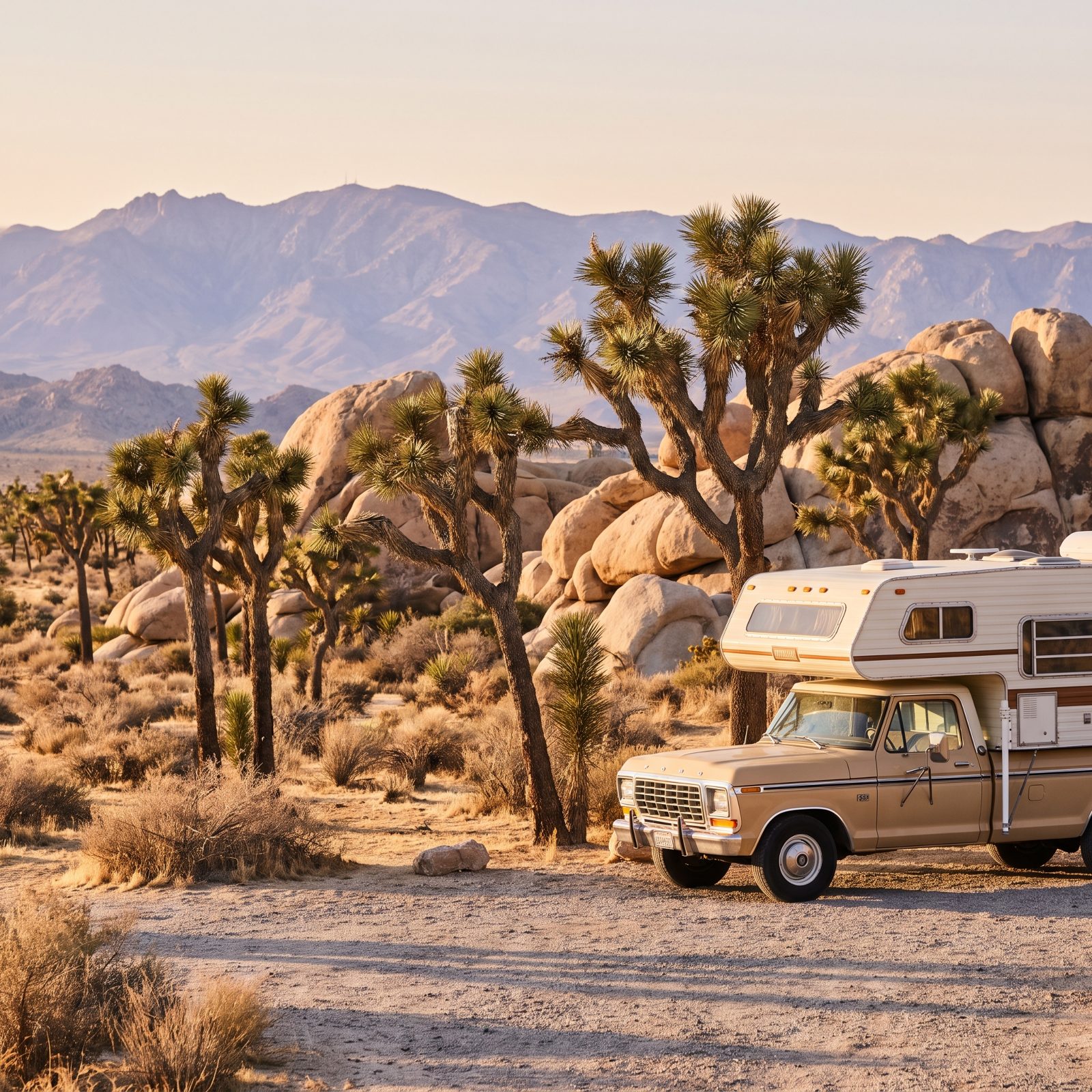
Two deserts, two personalities, one easy drive between them. Joshua Tree hands you the high Mojave with its spiky namesake trees and climber-magnet boulders. Drop south into Anza-Borrego and you’re in low Colorado Desert country — wide, quiet, nobody around.
Spring is the window. Hit a good year and the wildflowers go off like fireworks across the Borrego badlands. Summer is brutal and, honestly, a bad idea in an RV. Jumbo Rocks campground in Joshua Tree is a desert classic, though big rigs will want to scout sites first, because those boulders don’t move for anybody.
29. Nevada’s Loneliest Road: US 50 From Carson City to Great Basin
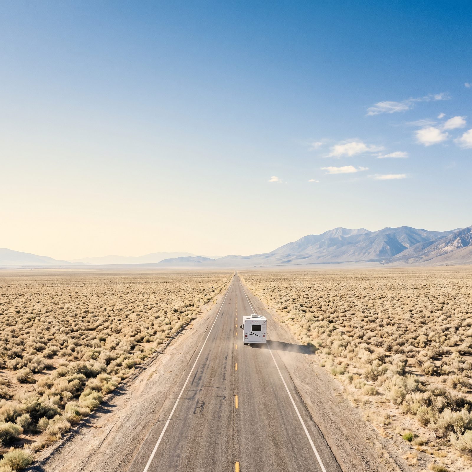
They nicknamed it the Loneliest Road in America as an insult. Nevada printed it on brochures and leaned all the way in.
US 50 runs straight across the basin-and-range country, one quiet old mining town to the next, with long empty stretches strung between them. The payoff waits at the far end: Great Basin National Park, 13,000-foot Wheeler Peak, ancient bristlecone pines, and the Lehman Caves running beneath it all. Fuel discipline matters out here. Top off in every town, because the gaps are real and the sun does not negotiate.
28. Arizona Route 66: Kingman to Seligman and the Painted Desert
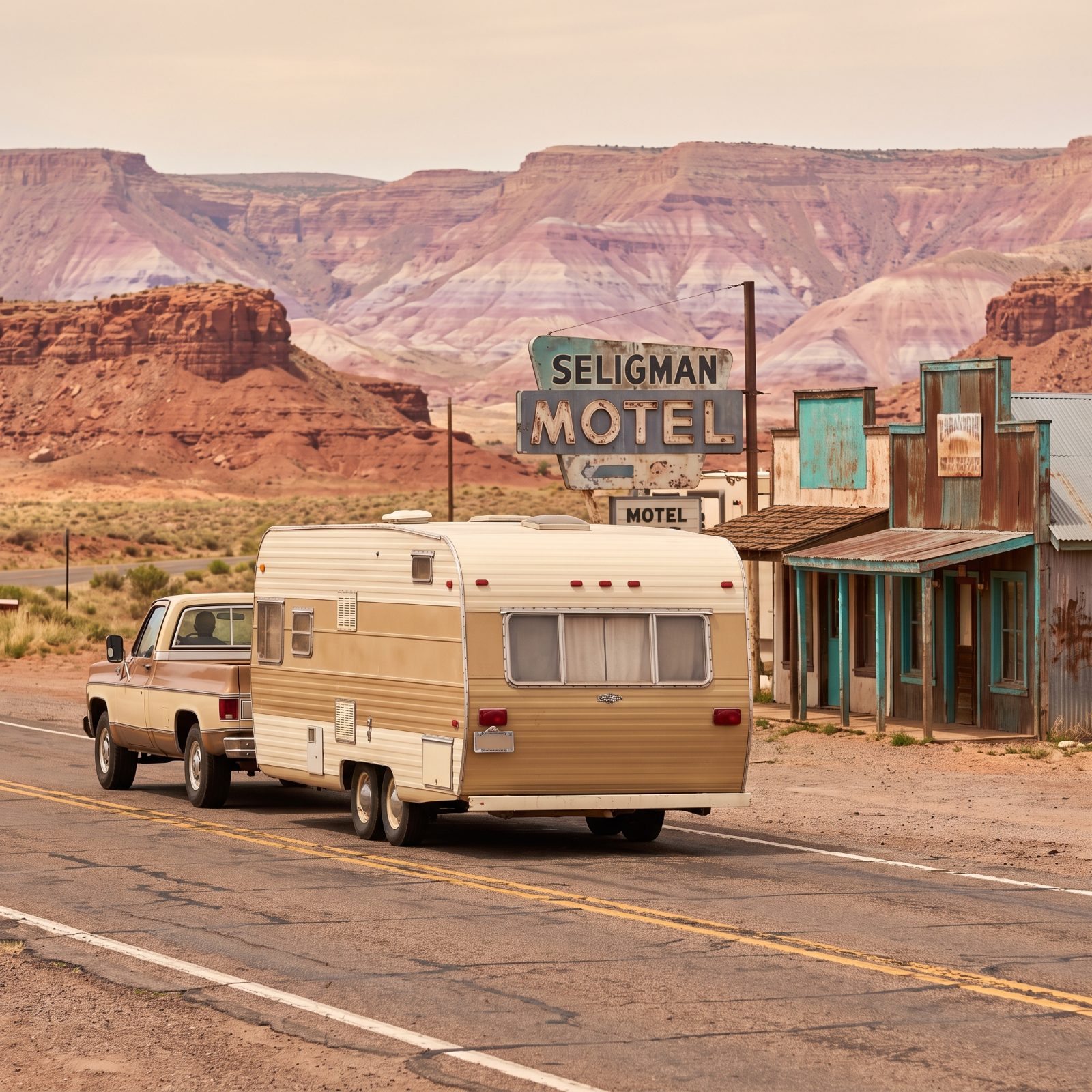
The stretch from Kingman to Seligman is the Route 66 that still feels like Route 66. Not the interstate that replaced it. The slow one, with faded motel signs and a diner that’s been pouring coffee since your grandparents drove through.
Seligman practically invented Route 66 nostalgia and knows it, in the best possible way. From there you can swing toward the Painted Desert, where the badlands run in bands of rust, lavender and pale pink that shift as the light moves across them. The old road is narrow and the shoulders are soft, so a smaller rig travels this one happiest.
27. Trail of the Ancients: Monument Valley, Cedar Mesa and Four Corners
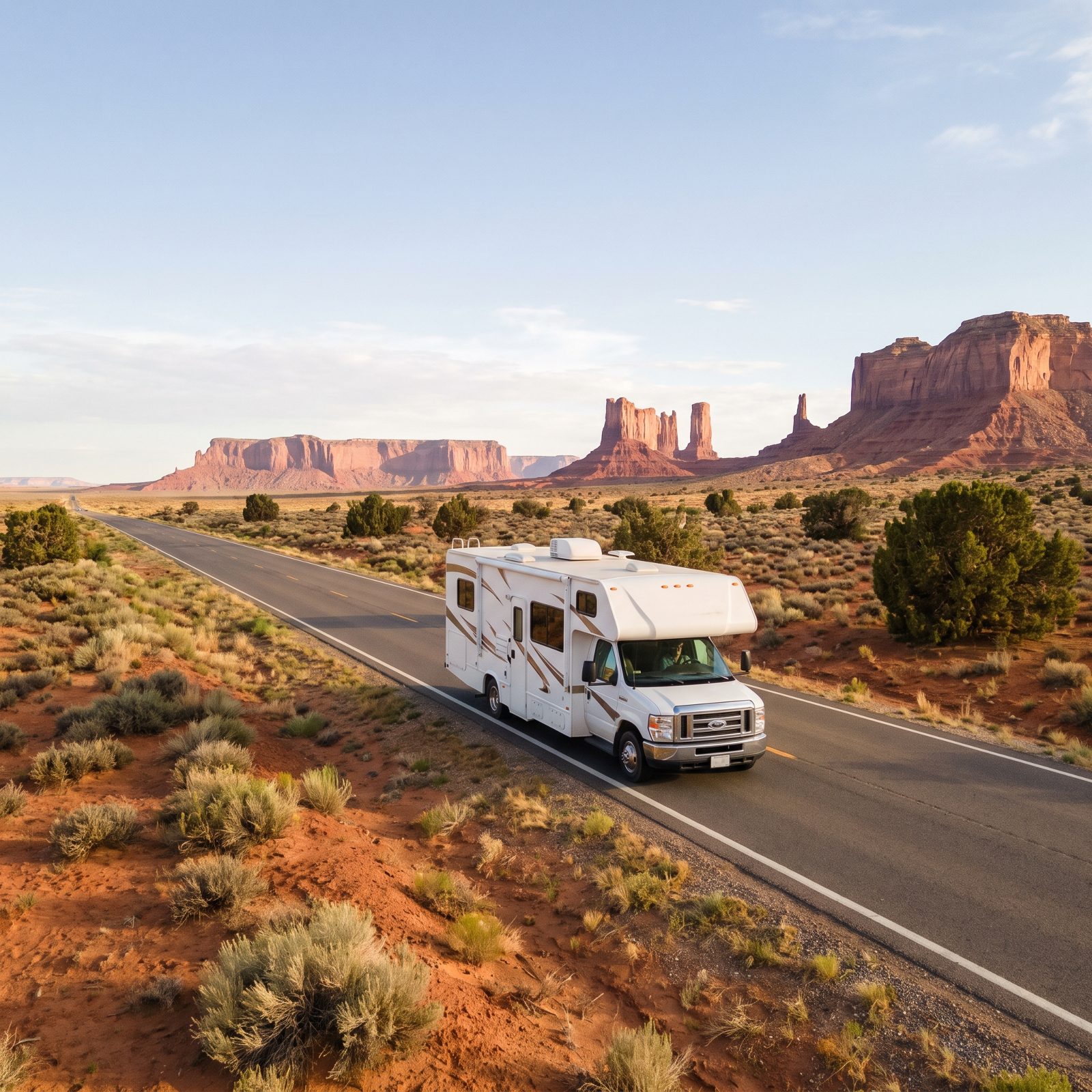
You want big country with almost no traffic and grades that don’t make your palms sweat. This is it. The Trail of the Ancients threads past Monument Valley, across Cedar Mesa, and through the Four Corners without a single white-knuckle pass.
First-timers treat it like a quick drive-through, and that’s the mistake. The distances are huge and the services are thin, so fuel up whenever you spot a station. The gap between them can run fifty-plus miles of nothing but red rock and silence.
Camp at Goosenecks State Park or the campground near Bluff and watch the light change on the buttes. It quiets a whole RV full of people.
26. Enchanted Circle Scenic Byway: Taos and the Sangre de Cristo Mountains
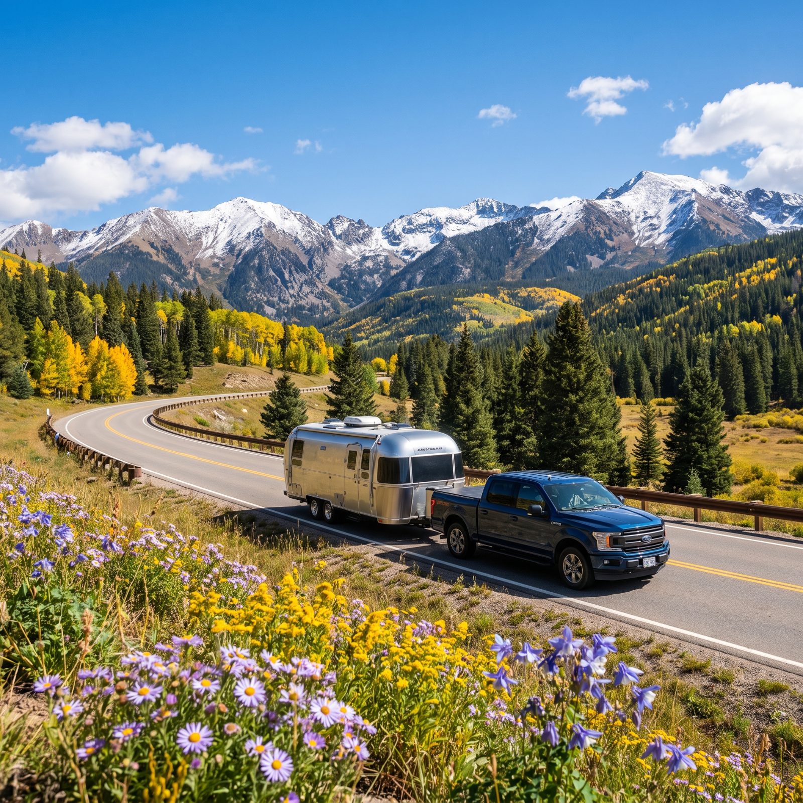
A loop of roughly eighty-four miles through Taos, Angel Fire, Eagle Nest, and Red River. Short enough to drive in a day, rich enough to stretch into three if you let it.
Here’s where people stumble: they underestimate the elevation. You’re climbing to over 9,000 feet at Bobcat Pass, and a loaded rig feels every bit of it. Downshift on the descents instead of riding your brakes, and give the engine room to breathe on the climbs.
The payoff is Taos itself — that strange adobe light, the aspens, the little mountain campgrounds scattered through the Carson National Forest. Go in late September for the gold.
25. Peak to Peak Scenic Byway: Colorado’s Front Range Without the Interstate
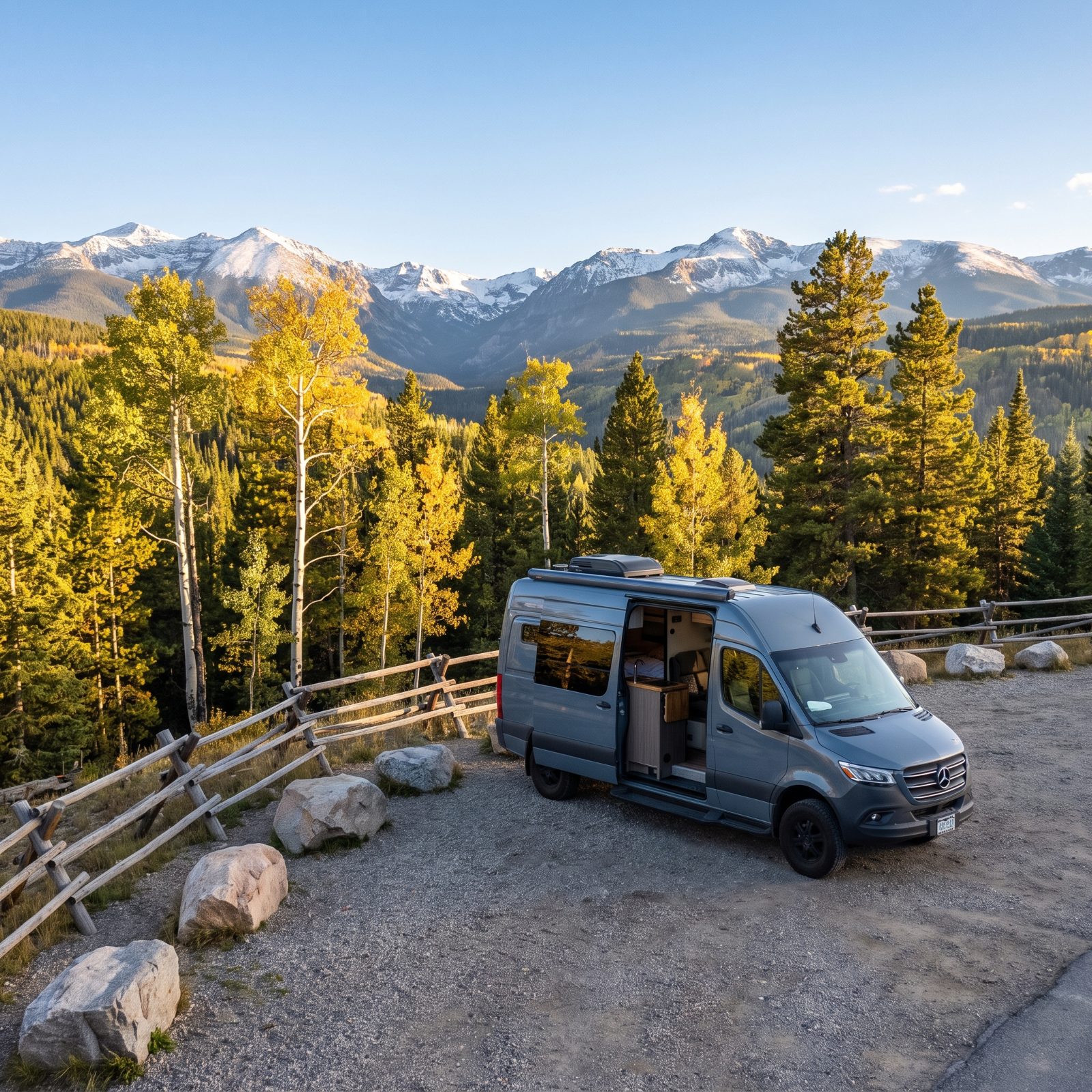
Colorado’s oldest scenic byway, and it still earns the title. Running from Estes Park down to Central City, Peak to Peak keeps you off I-70 and its grinding truck traffic while handing you views of the Continental Divide the whole way.
The temptation is to tack on Rocky Mountain National Park’s Trail Ridge Road right away. Don’t — not on your first run with a trailer. That road is spectacular and brutal in equal measure. Peak to Peak gives you the Front Range at a gentler pitch, with towns like Nederland and Allenspark for supplies when you need them.
24. Theodore Roosevelt Scenic Route: North Dakota Badlands and Medora
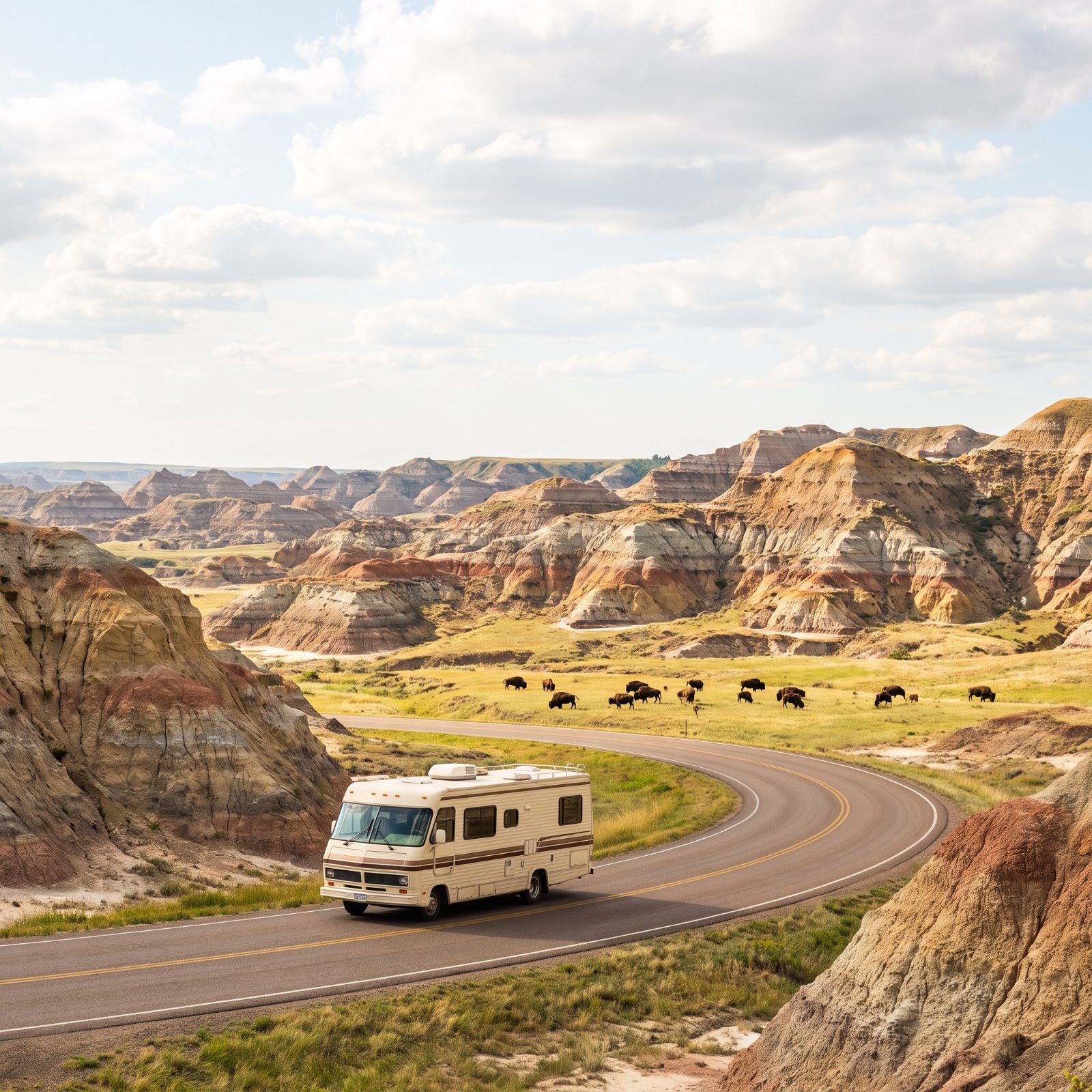
Most people drive straight past North Dakota on their way somewhere flashier. Their loss. The Theodore Roosevelt scenic loops near Medora give you Badlands color, wild bison, and a park you can actually land a campsite in.
The South Unit drive is a 36-mile loop with wide pavement and gentle curves, forgiving for a big rig. Just watch for bison standing in the road like they own it — because they do. Keep your distance and let them cross on their own schedule.
Base yourself at Cottonwood Campground inside the park. The evenings here go quiet in a way that catches people off guard, and the old frontier town of Medora is worth a lazy afternoon.
23. Montana’s US 2 Hi-Line: Prairie Towns to Glacier National Park
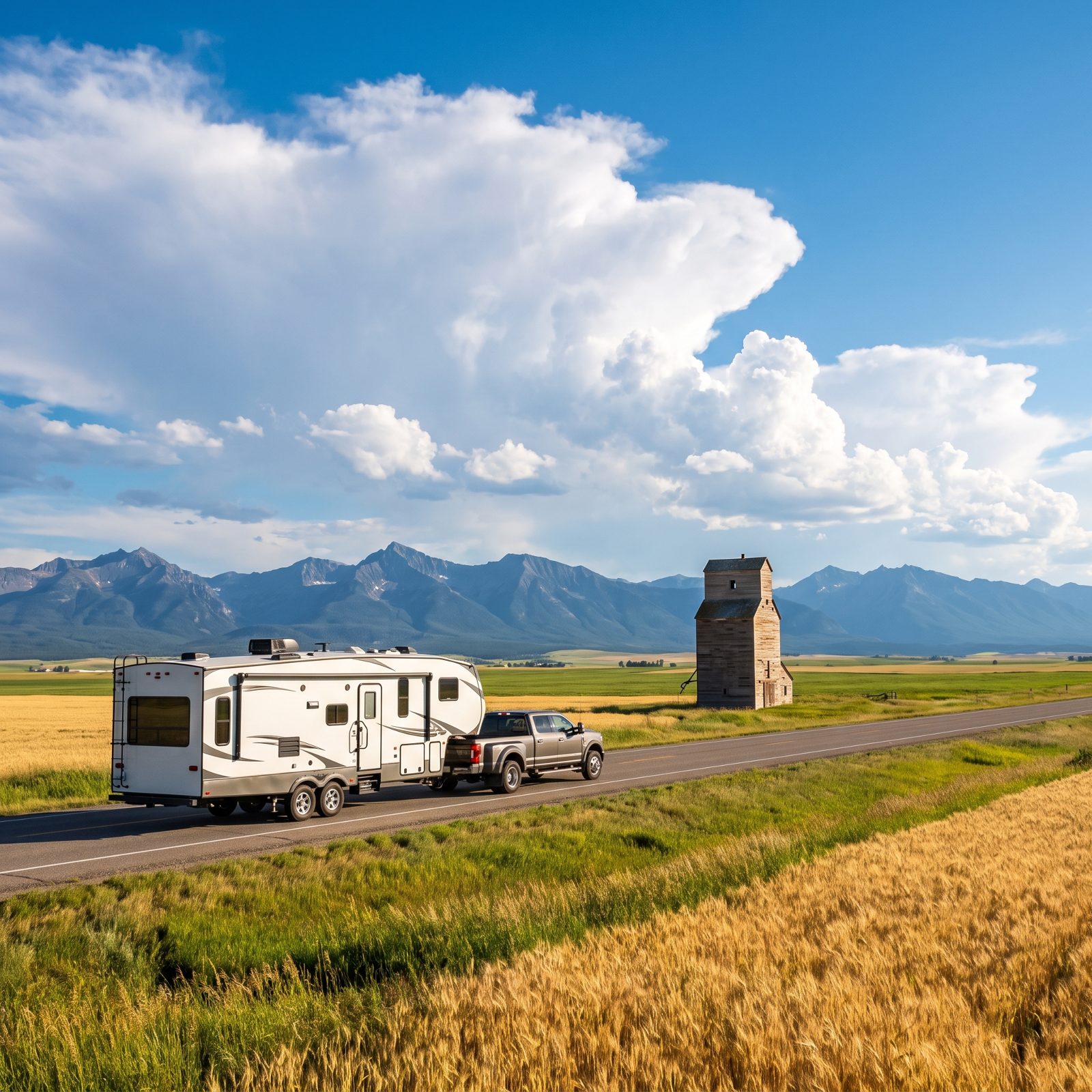
The Hi-Line is the long, lonely northern road across Montana, and the loneliness is the point. US 2 runs through tiny prairie towns, past grain elevators and wide empty horizons, until the Rocky Mountain Front suddenly fills your windshield and Glacier shows up.
The rookie error is rushing it. People treat the prairie as dead miles to survive before the mountains. Havre, Chinook, and Cut Bank beg to differ — cheap overnight spots, friendly diners, and that enormous Montana sky going pink at dusk.
One caution. The Going-to-the-Sun Road inside Glacier bans vehicles over 21 feet. Park your rig outside and shuttle in. Trying to bully that rule with a 30-foot motorhome makes for a genuinely bad afternoon.
22. Seward Highway: Anchorage to Resurrection Bay
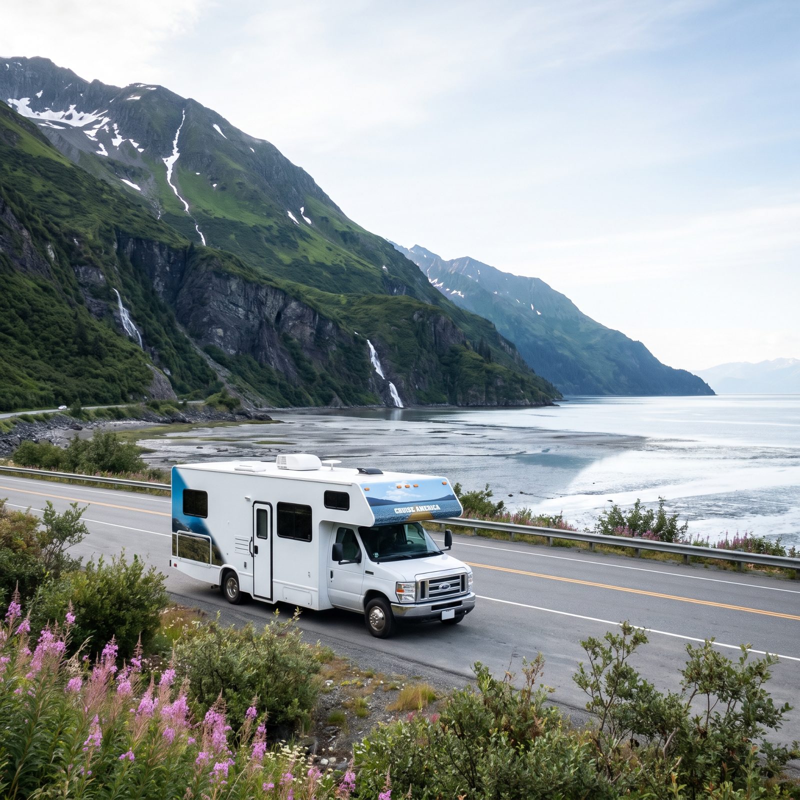
Roughly a hundred and twenty-five miles that get called one of the most scenic drives in the country, and nobody really argues the point. Anchorage to Seward along Turnagain Arm, with tidewater on one side and mountains dropping straight to the asphalt on the other.
If you’re flying in and renting, start here. It’s paved, well-maintained, and short enough to actually savor. Watch for beluga whales in the Arm and Dall sheep picking their way across the cliffs above.
Book your Seward campground early. Resurrection Bay spots fill fast in July, and showing up without a reservation is how a dream trip becomes a parking-lot night.
21. Sandhills Journey Scenic Byway: Nebraska Highway 2 Through Rolling Prairie
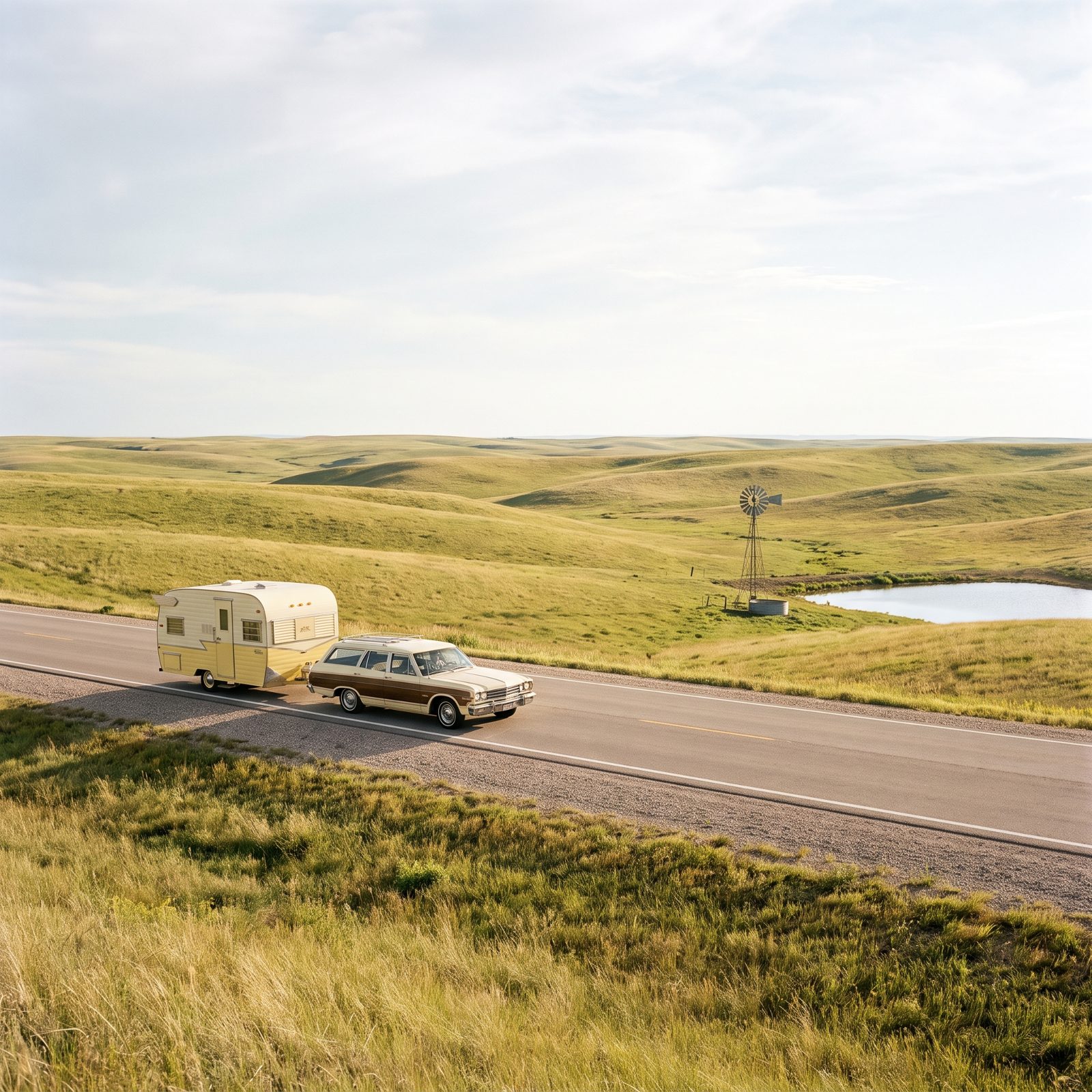
Grass-covered sand dunes rolling to the horizon in every direction. The Nebraska Sandhills are one of the strangest, most hypnotic landscapes in the country, and Highway 2 cuts right through the heart of them.
Why do veterans push beginners toward this one? The road is flat, straight, nearly empty, and the towns sit at just the right intervals for fuel and overnight stops. It builds confidence. You learn to handle your rig at highway speed with zero drama.
Stop in Broken Bow or Thedford, watch the trains roll by, and let the prairie do its slow work on you. It sneaks up on people.
20. Talimena Scenic Drive: Ridgetop Views Across Oklahoma and Arkansas
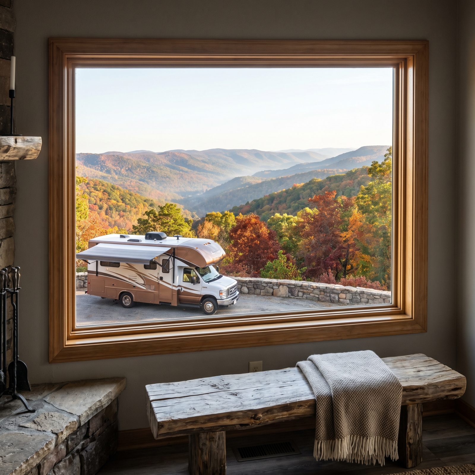
A ridgetop road most people have never heard of, which is a shame. The Talimena runs about 54 miles along the crest of the Ouachita Mountains between Oklahoma and Arkansas, and come October it goes up in color like someone struck a match.
The curves here stay gentle enough for a mid-size rig but they never quit, so take them at an easy pace. Pullouts show up every few miles, which means you don’t have to gawk and steer at the same time. Pull over, look, move on.
Queen Wilhelmina State Park near the Arkansas end has a campground right on the ridge. Waking up inside a cloud up there is worth the drive all by itself.
19. Texas Hill Country Loop: Fredericksburg, Enchanted Rock and Bluebonnet Roads
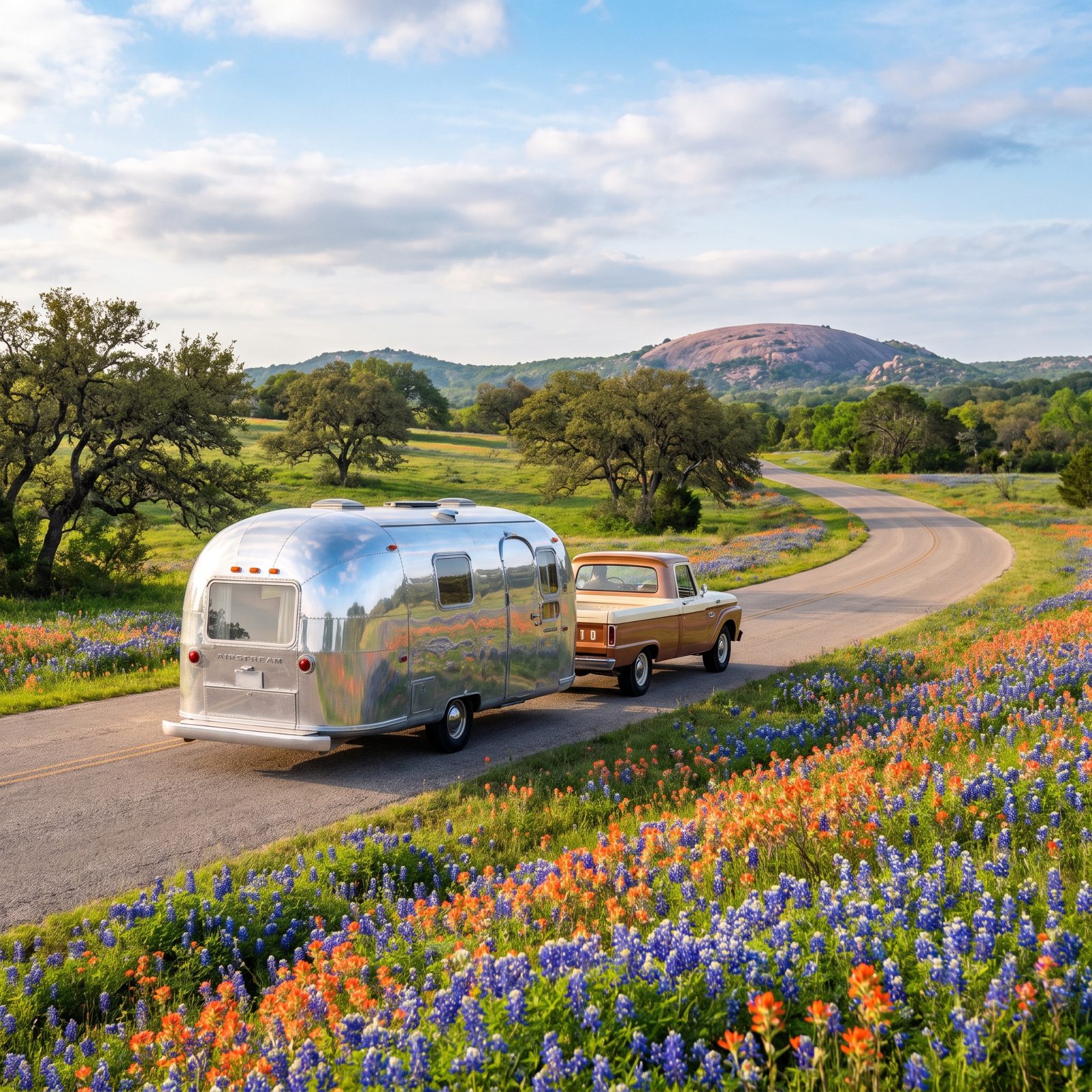
Come in late March or early April, or don’t bother with the hype at all. The Hill Country loop out of Fredericksburg turns into a bluebonnet wonderland in spring — pink granite domes, roadside wine stops, and some of the friendliest small towns in Texas.
The trap is treating it like a race between attractions. This loop rewards wandering. Let the back roads between Fredericksburg, Luckenbach, and Enchanted Rock pull you off schedule, and don’t apologize for it.
Enchanted Rock State Natural Area caps vehicle entry when it fills, so arrive early or camp nearby and walk in. The dome at sunset glows like a hot coal.
18. Creole Nature Trail: Louisiana Wetlands, Wildlife and Gulf Beaches
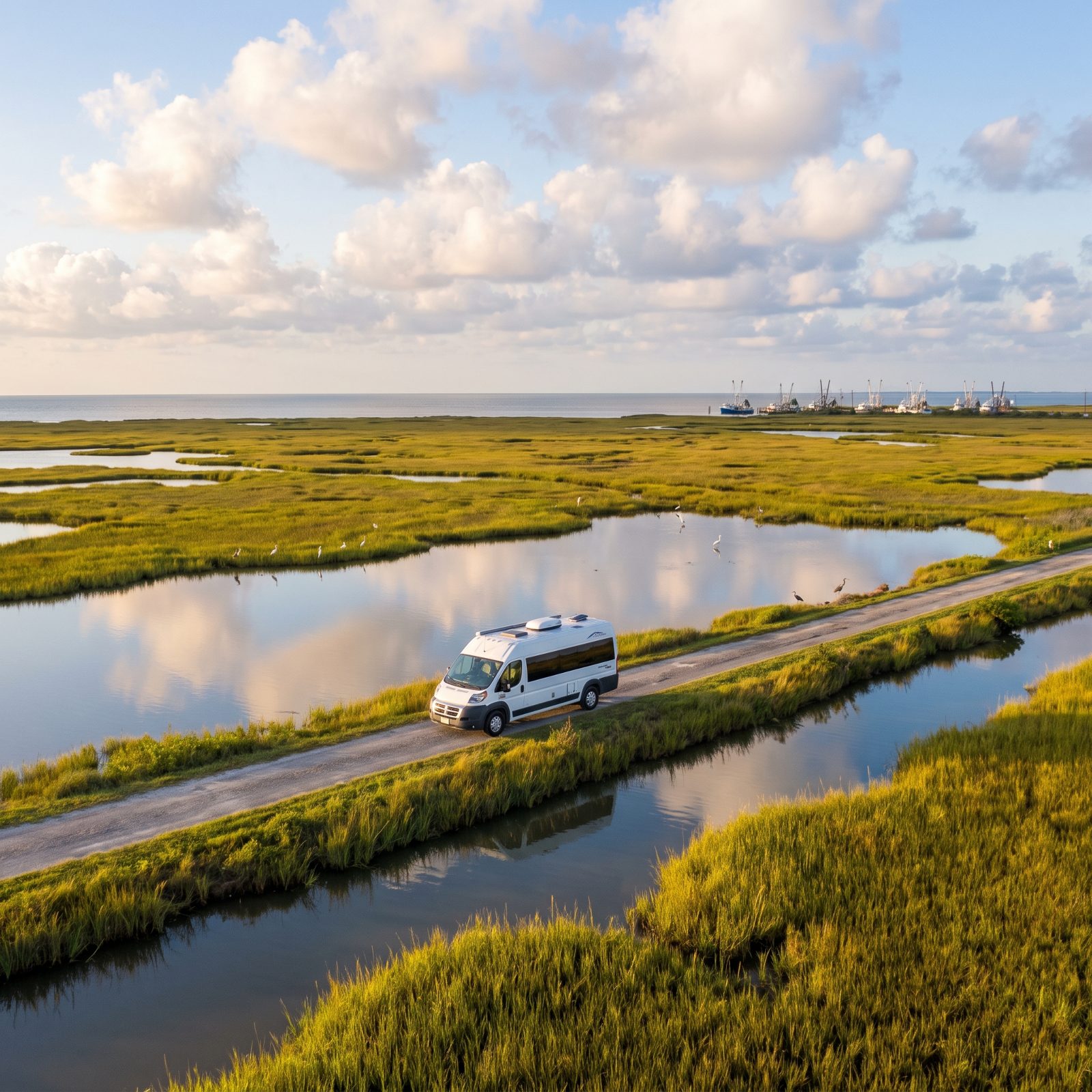
Alligators, roseate spoonbills, shrimp boats, and empty Gulf beaches you can drive right onto. The Creole Nature Trail loops through southwest Louisiana’s marshes and feels like nowhere else in America.
Beginners get a little nervous about the remoteness and the summer bugs, and honestly, fair enough — those bugs mean business. Go in the cooler months, carry repellent, and keep your fuel topped off, because services thin out fast once you clear Lake Charles.
The birding here ranks among the best anywhere, especially during spring migration when the trees fill up overnight. Pull over at the boardwalks and just listen. Then find a spot near Holly Beach and fall asleep to the Gulf. Not a bad way to close out a first big trip.
17. Natchez Trace Parkway: An Easy Roll From Mississippi to Tennessee
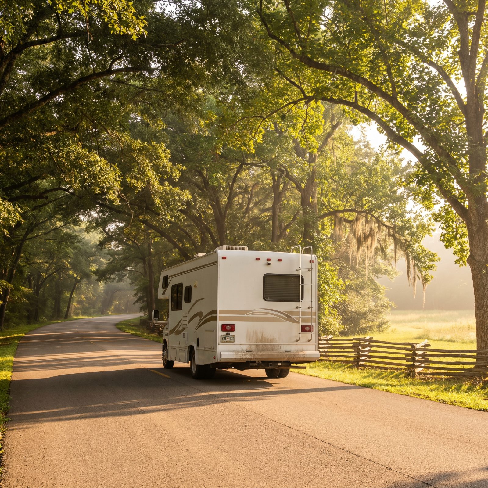
If you only drive one parkway your first season, make it this one. No commercial traffic, no stoplights for stretches that outlast some entire states. The limit sits at 50, the grades are gentle, and the long run from Natchez up to Nashville was built for exactly this kind of unhurried wandering.
What makes it a near-perfect starter route is the lack of pressure. You pull off at an overlook, read a little history about the old boatmen who walked this path home, and nobody’s riding your bumper. Campgrounds like Jeff Busby sit right off the road, free and first-come.
16. Great River Road: Tracing the Mississippi Through Old River Towns
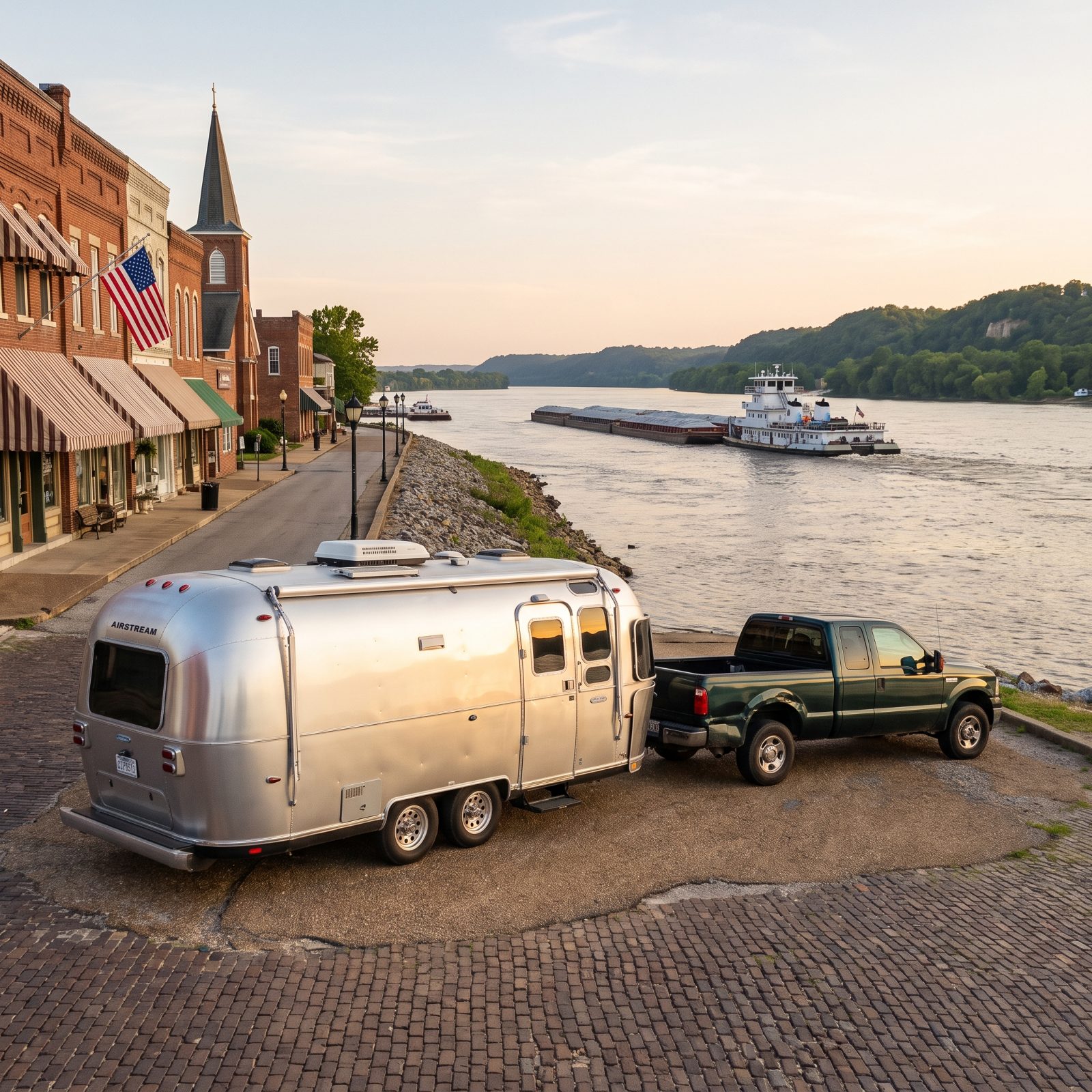
Ten states, one river, roughly three thousand miles if you ran the whole thing. You won’t. You’ll pick a piece — probably the stretch through Iowa, Illinois and Missouri where the bluffs press close and the towns still look like somebody painted them in 1890.
Think stops, not mileage. Hannibal for the Mark Twain business, Galena for the brick streets. And down in Illinois, Pere Marquette State Park has one of the better RV campgrounds on the river — big sites under tall trees, the lodge right there.
The river gives you a natural compass. You never really get lost on the Great River Road, you just drift.
15. The Florida Panhandle: US 98 and the Sugar-Sand Beaches of 30A
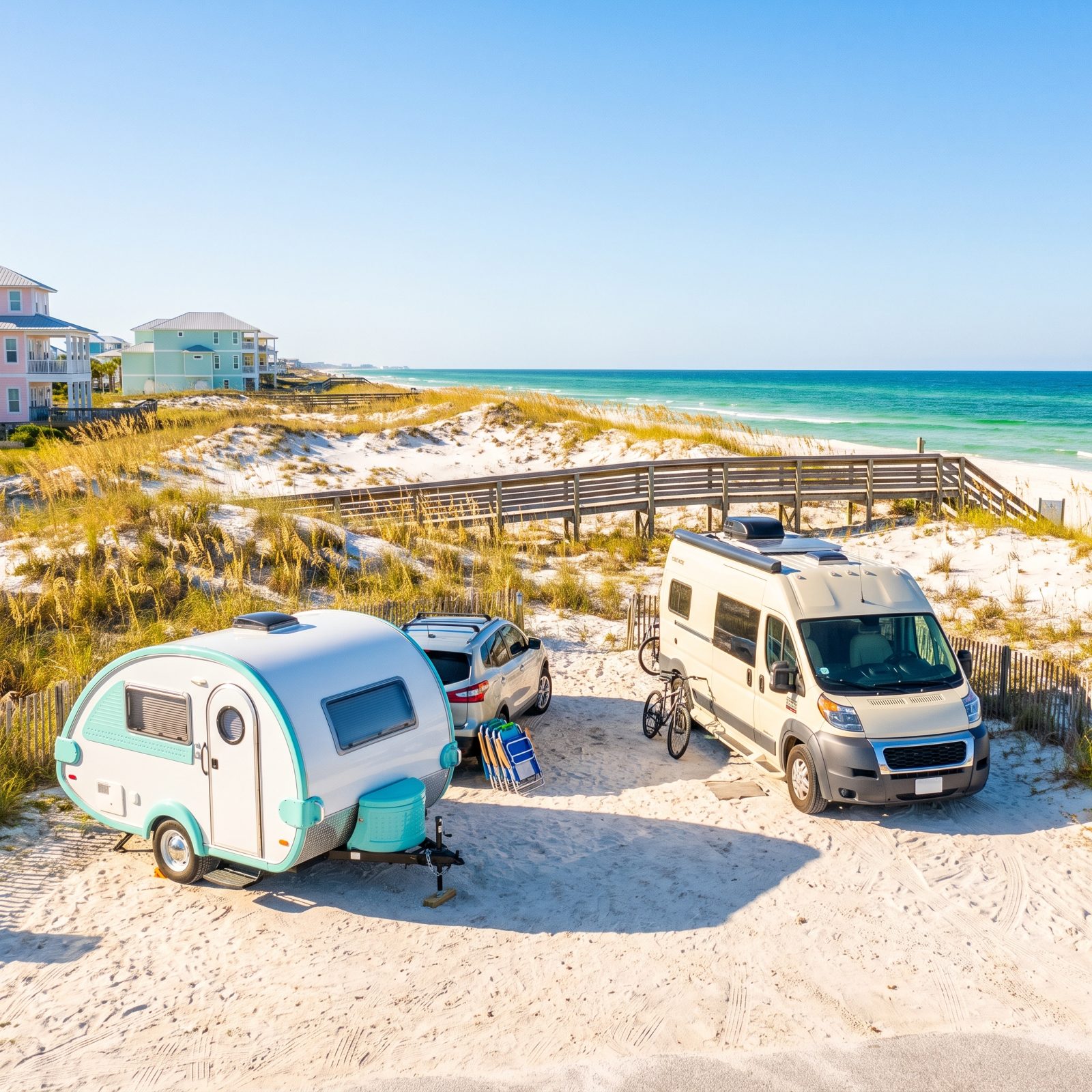
The water here is the color people don’t believe until they stand in it. Green near the shore, then a band of deeper turquoise, all of it sitting against sand so white it looks like powdered sugar. US 98 carries you along the coast, and the little detour onto Scenic 30A drops you into a string of beach towns made for slow mornings.
For RVers, the draw is Topsail Hill Preserve and Grayton Beach State Park, both with full-hookup sites close to the dunes. Book early. These fill up months out, and for good reason.
14. Wisconsin’s Driftless Area: Bluffs, Dairy Farms and Hidden Valleys
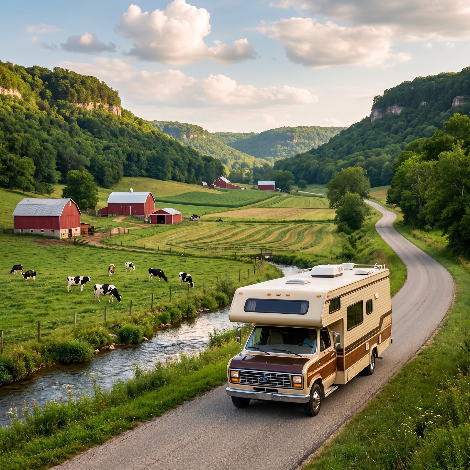
The glaciers skipped this corner of Wisconsin. That’s the whole story, really. While the ice flattened everything around it, the Driftless Area kept its bluffs, its deep folded valleys, its trout streams running clear and cold between hills that look more like Vermont than the Midwest.
The roads twist and climb, so take them slow and enjoy the fact that you can. Wildcat Mountain State Park gives you a basecamp with real views. And the towns — Viroqua, Soldiers Grove, Gays Mills — are the kind where the diner knows everybody.
It’s easy to write this region off as flyover country. That would be a mistake.
13. Hocking Hills Scenic Byway: Gorges, Rock Shelters and Deep Ohio Woods
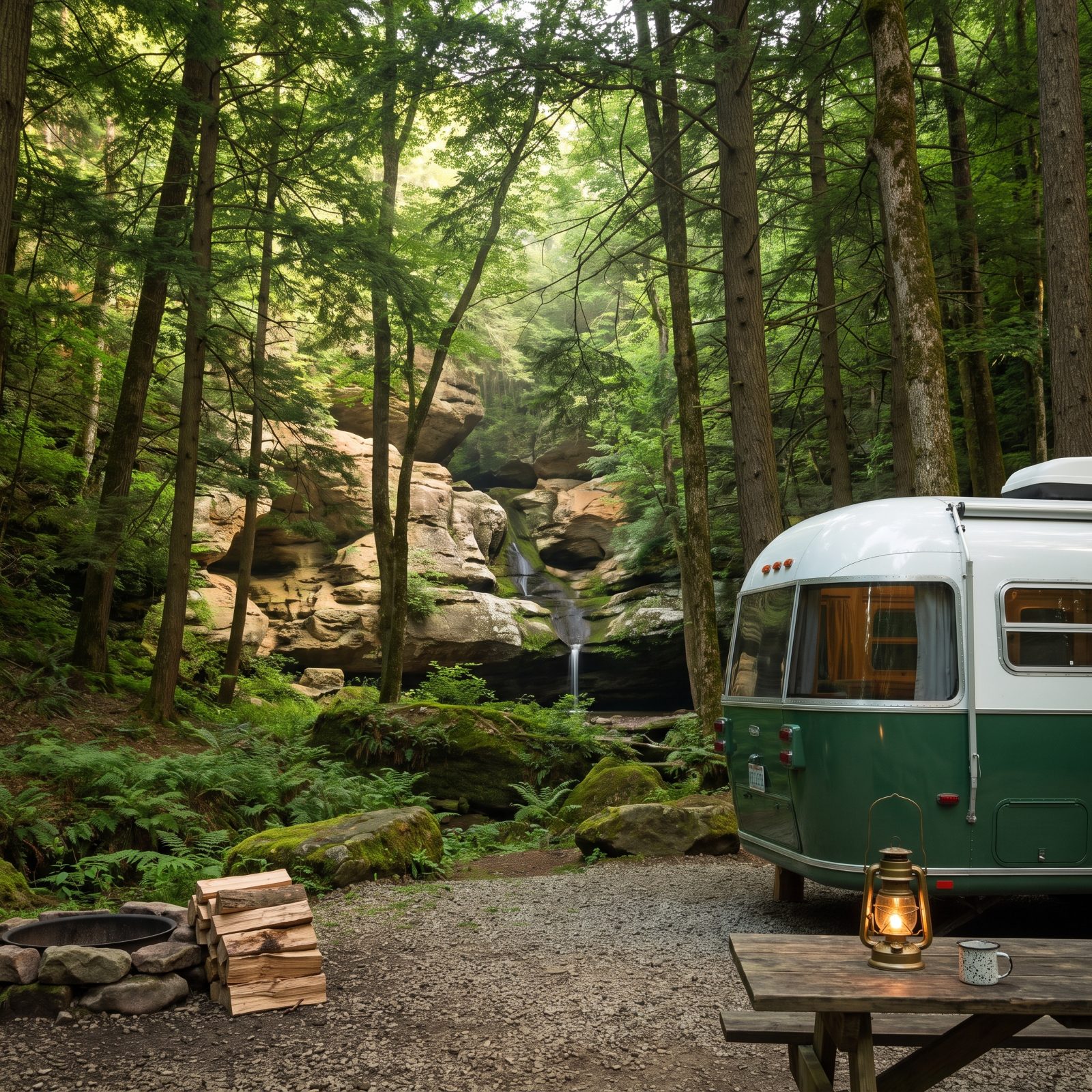
Caves in Ohio. Real ones, carved into blackhand sandstone, with names like Old Man’s Cave and Ash Cave and Cedar Falls. The gorges stay cool even in July because the hemlock canopy never lets the sun all the way down.
This is a shorter route, more of a loop you settle into than a highway you cover. Park at the Hocking Hills State Park campground and the trails start practically at your door. Hike in the cool morning, come back and nap, hike again before dinner. That’s the rhythm.
12. Kentucky Bourbon Country: Distilleries, Horse Farms and Quiet Backroads
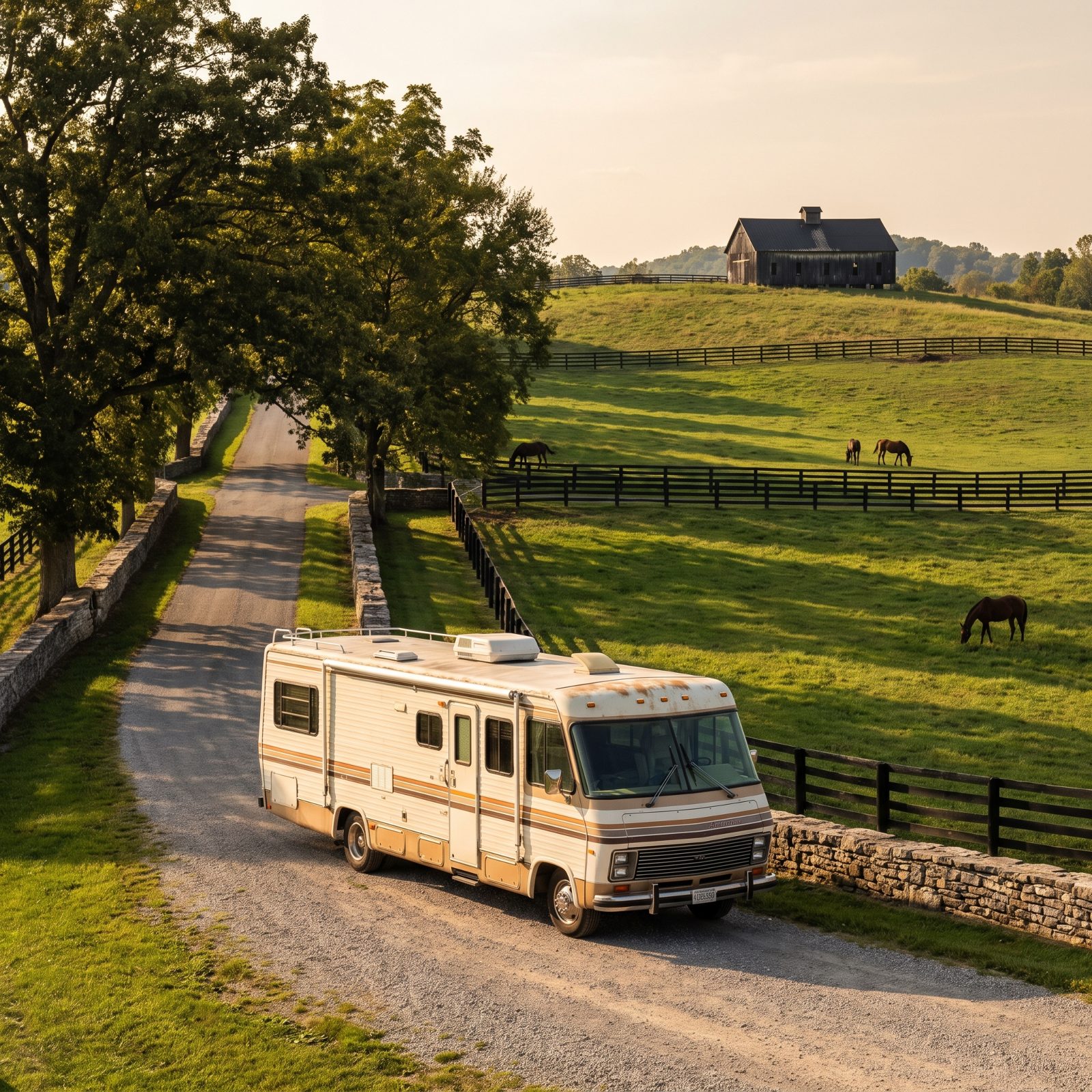
You’ll smell it before you understand it. Warm, sweet, a little like caramel and bread — mash cooking, hanging over this part of Kentucky. The Bourbon Trail connects the famous distilleries, but the real pleasure is the driving between them.
Black fences. Limestone walls. Horses that cost more than your house, standing around looking bored. The backroads around Bardstown and Lawrenceburg roll gently, nothing steep, nothing that’ll scare you.
One honest note for RVers: distillery parking isn’t always rig-friendly, so stage at a campground like My Old Kentucky Home State Park and day-trip in a toad or rideshare. Don’t try to thread a 34-footer through a distillery lot.
11. Charleston to Savannah: The Lowcountry Beneath Ancient Live Oaks
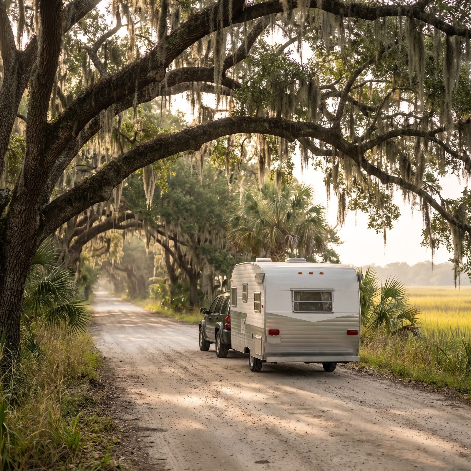
The live oaks do the heavy lifting here. They arch clear over the road, heavy with Spanish moss, and under them the light goes soft and green like you’re driving through an aquarium.
It’s a short run between the two cities, which is the point. You go slow. Stop in Beaufort, which is prettier than it has any right to be. Camp at The Oaks at Point South or one of the KOAs along the way, then day-trip into the historic districts.
10. Outer Banks Scenic Byway: Lighthouses, Barrier Islands and Ferry Hops
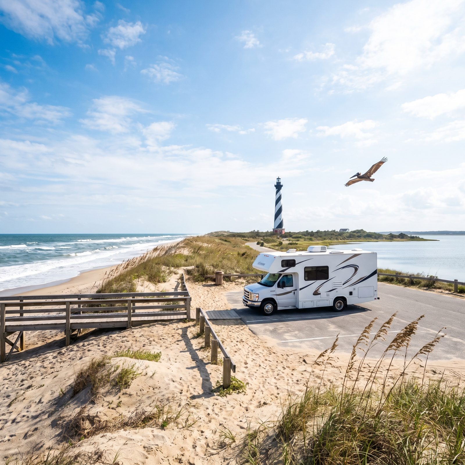
A thin ribbon of sand between two waters — that’s the Outer Banks. Ocean on one side, sound on the other, and a road running right down the spine of it past some of the best lighthouses on the East Coast.
The ferries are the wrinkle that scares first-timers off, and they shouldn’t. The Hatteras-to-Ocracoke ferry is free, runs often, and takes RVs all day long. Rolling your rig onto a boat is a little thrilling the first time. After that it’s just a nice break where somebody else does the driving.
9. Pennsylvania Route 6: Forests, Small Towns and the PA Grand Canyon
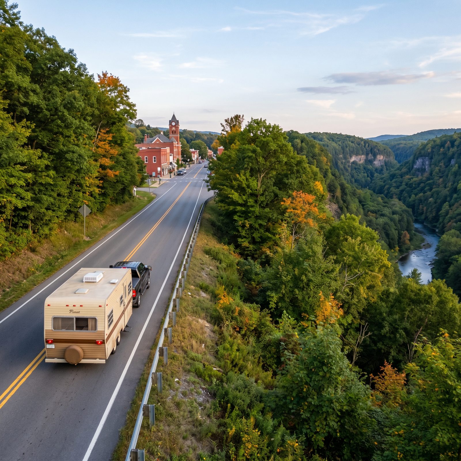
Route 6 runs the whole top of Pennsylvania, and most people have never driven a mile of it. Their loss. It threads together forgotten small towns, deep forest, antique shops and the showpiece — the Pine Creek Gorge that everyone calls the PA Grand Canyon.
Leonard Harrison and Colton Point State Parks sit on opposite rims, both with campgrounds, both with overlooks that make you forget you’re in the Keystone State. The driving is two-lane and relaxed, the kind of road where you fall in behind a hay truck and decide you’re fine with it.
Want to understand why people fall for RV travel? Drive this in late September. The maples start turning and the whole corridor lights up.
8. Finger Lakes Loop: Waterfalls, Vineyards and Lakeside Camps
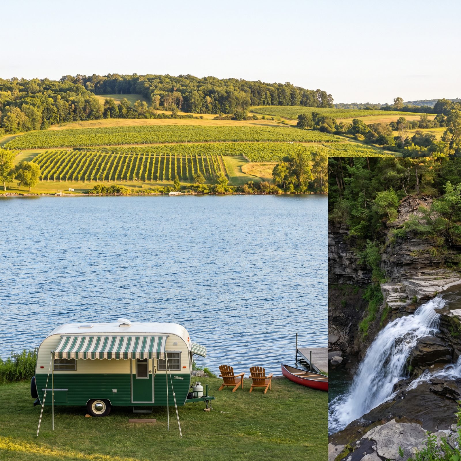
Eleven long skinny lakes gouged into the hills by ice, and between them more waterfalls than you can count. Watkins Glen alone stacks a whole gorge full of them, the trail cutting through shale canyons with water falling on both sides of you.
It loops nicely for an RV. Cayuga, Seneca and Keuka each have state-park campgrounds right on the water, and the vineyard roads connecting them are gentle and well-marked. Pick a lake, circle it, move on when you feel like it.
There’s a reason seasoned RVers keep coming back to the Finger Lakes. It gives you everything a big western trip gives you, at a tenth of the white knuckles.
7. Adirondack Park Loop: Mountain Lakes and Forest Roads in Upstate New York
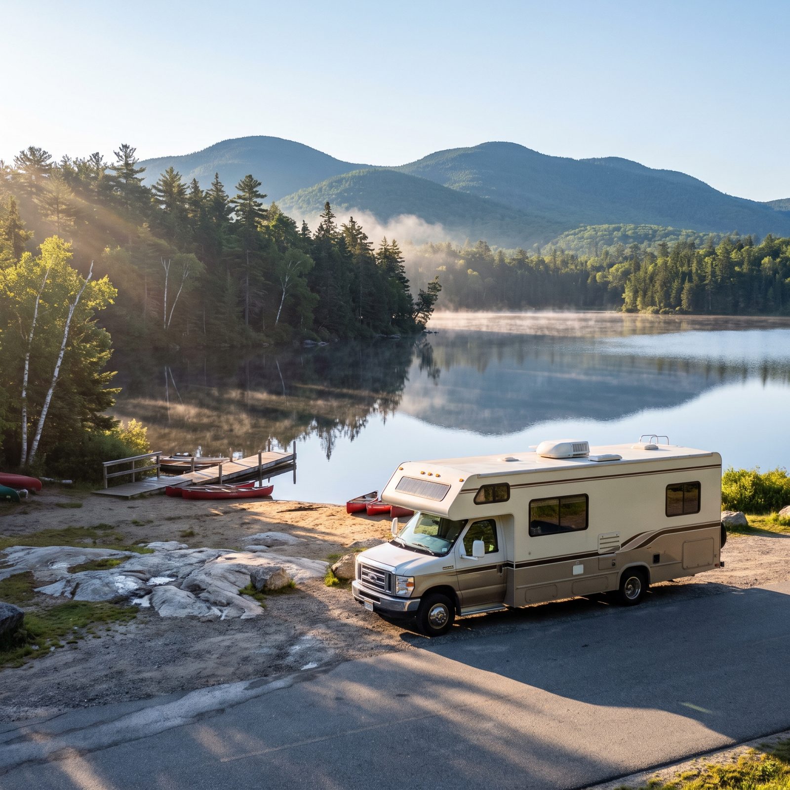
Most first-timers reach for the big western parks and skip the Northeast entirely, which is their loss. The Adirondacks quietly hold six million acres of protected land. That’s more than Yellowstone, Yosemite, and Grand Canyon combined, and no, it isn’t a typo.
The loop threads past Lake George, through Lake Placid, and along miles of two-lane forest road where the trees close in like a tunnel. State-managed campgrounds here keep it simple: a fire ring, a lake, and quiet after dark. Many sites have no hookups, so roll in with full water and a charged battery.
What makes it a smart first route is the forgiveness built in. Towns sit close together, roads stay reasonable for a 25-footer, and you’re never more than an hour from a dump station or a diner.
6. Vermont Route 100: Covered Bridges, Villages and Green Mountain Camps
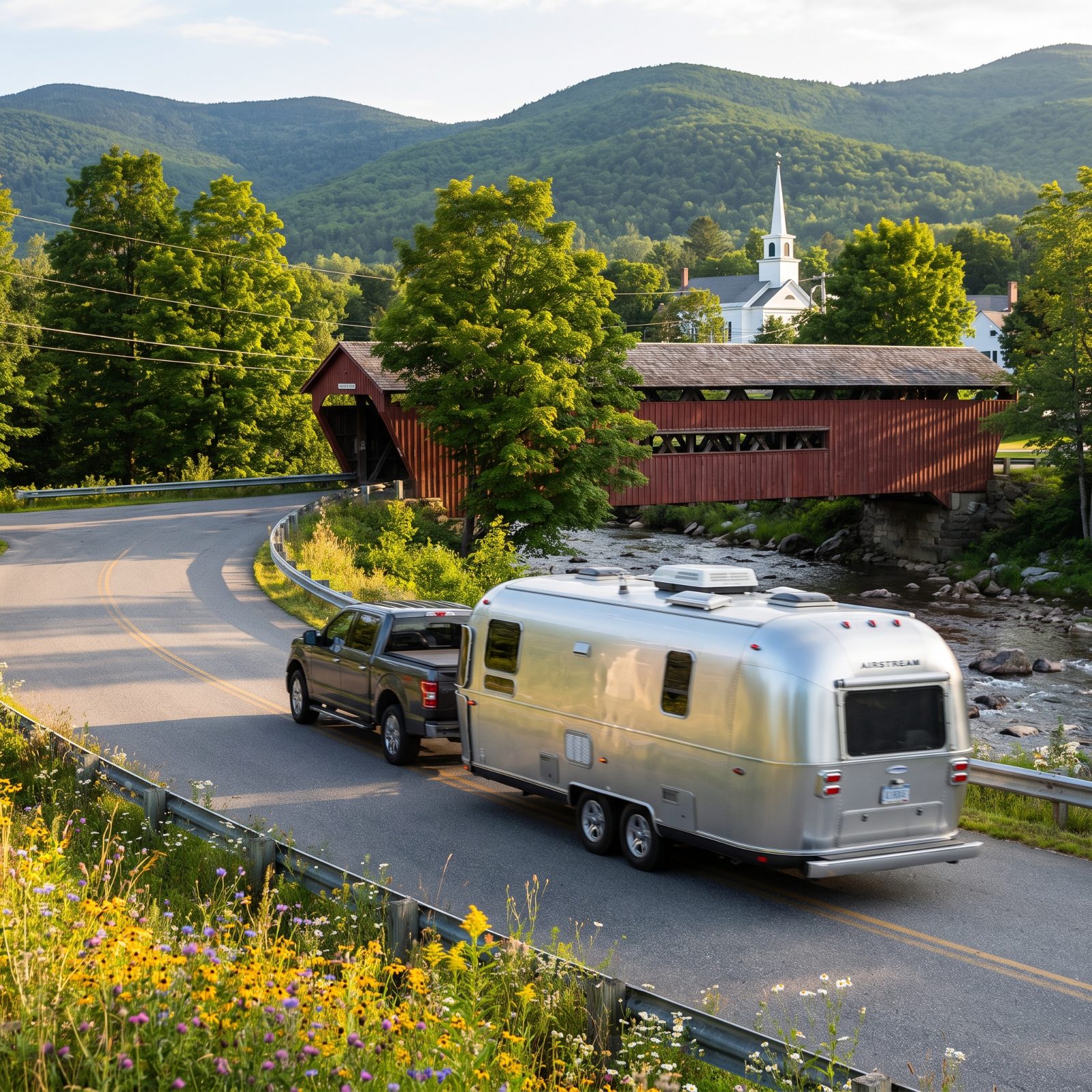
Route 100 runs the spine of Vermont for roughly 200 miles, and barely any of it feels rushed. You pass through Weston, Waitsfield, Stowe — each one a cluster of white clapboard and general stores that still sell penny candy and maple syrup by the jug.
The covered bridges are the draw and also the warning. Plenty of them carry weight and height limits that will stop a tall rig cold. Check clearances before you commit to a crossing, or route around it. Nobody wants to back a trailer out of a one-lane wooden tunnel with a line of cars waiting.
Green Mountain campgrounds tuck into the hills with sites under the maples. Go in early October and the color is absurd — so are the crowds and the prices. Late September gives you most of the foliage with room to breathe.
5. Kancamagus Highway: New Hampshire’s White Mountain Passage
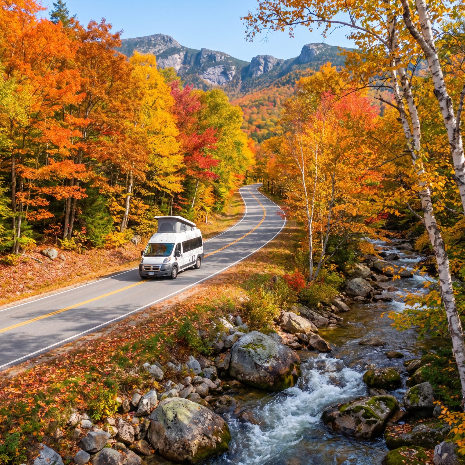
Thirty-four miles, no gas stations, no services, and some of the best fall color anywhere in the country. The Kancamagus — locals just say “the Kanc” — climbs through Franconia Notch country toward the high country, short enough to drive in a morning and remember for a decade.
Here’s the catch that catches people: there is genuinely nothing along the route. Fill the tank in Lincoln or Conway before you start. The grades are steady rather than brutal, but a heavy rig in low gear on a hot day will drink fuel faster than you expect.
Several first-come campgrounds sit right off the highway, run by the Forest Service, rustic and cheap. Arrive by early afternoon on a fall weekend or you’ll be hunting in the dark.
4. Cape Cod Route 6A: Historic Villages, Marshes and Atlantic Beaches
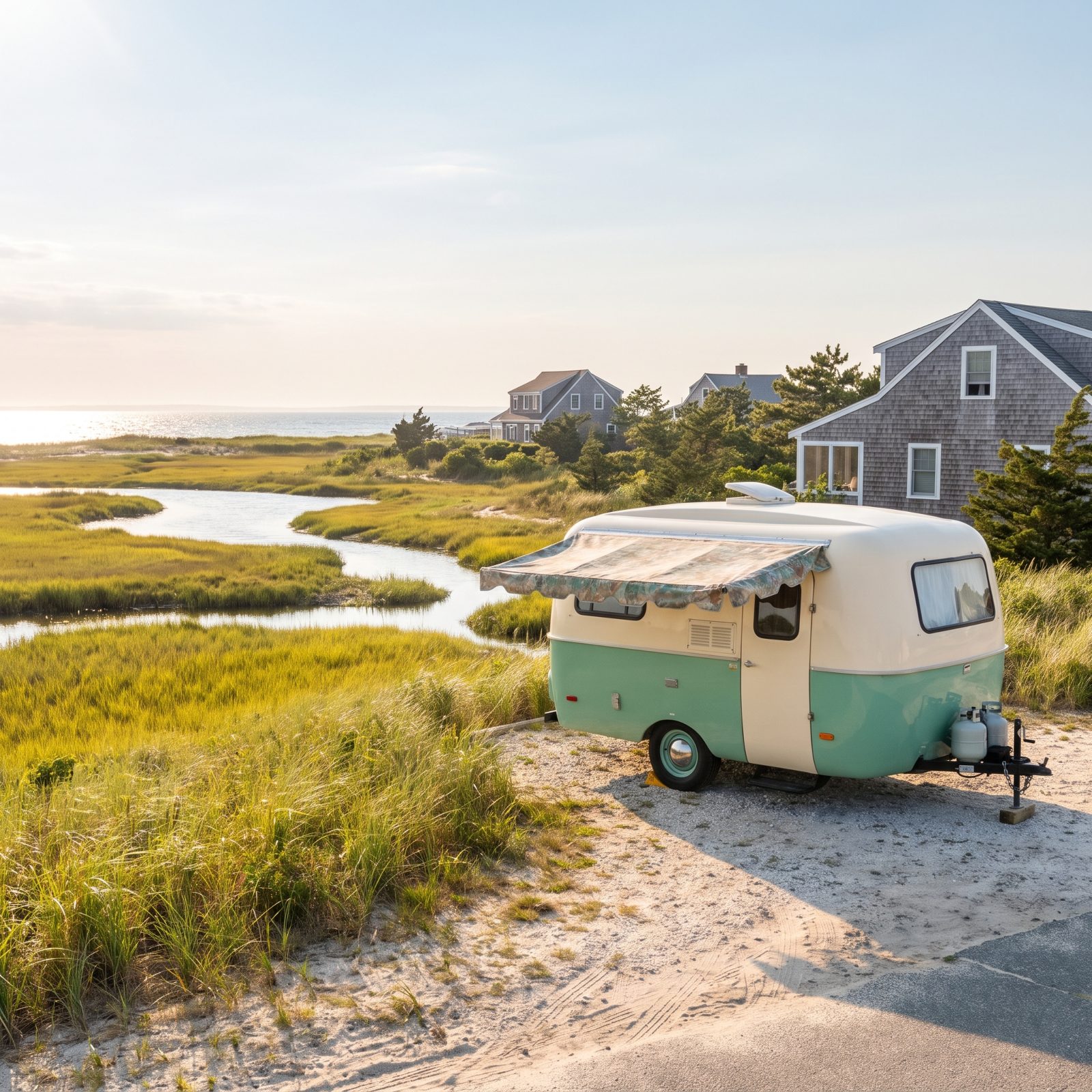
Route 6A hugs the northern shore of Cape Cod, and it’s the opposite of the highway that runs beside it. This is the Old King’s Highway, lined with sea captains’ houses, antique shops, and salt marshes that turn gold in the afternoon.
Here’s the hard truth about the Cape: it wasn’t built for RVs, and summer traffic is a slow-motion standstill. Narrow village streets, tight parking, real backups at the bridges over the canal. The move is a shoulder-season visit — May or September, when the crowds thin and the campgrounds actually have openings.
Stage out of a campground in Brewster or Eastham and day-trip the villages in your tow vehicle rather than dragging the whole rig down 6A. Your blood pressure will thank you.
3. Mount Hood Scenic Loop: Orchards, Forests and Alpine Campgrounds
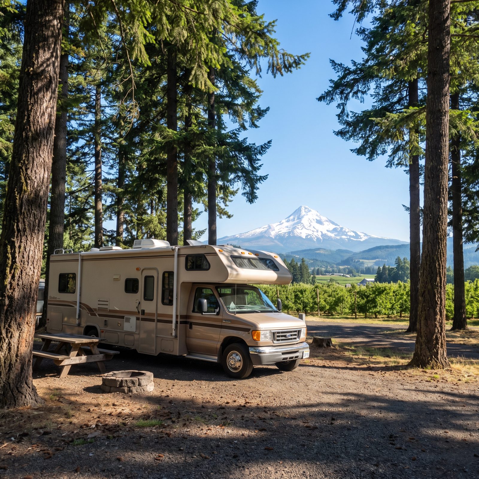
Loop around Mount Hood and you get an entire region in under a hundred miles: fruit orchards in the Hood River valley, deep old-growth forest, and alpine meadows with the glaciered peak hanging overhead the whole way.
The Fruit Loop section in late summer is a genuine treat. Roadside stands sell pears, cherries, and peaches straight off the tree, and most have room to pull a smaller rig in. Timberline Lodge at the top earns the climb, though the grade up Timberline Road asks something of your engine.
Forest Service campgrounds ring the mountain, most without hookups, sitting right under the firs at elevation. Nights get cold even in July, so bring the warm bag.
2. California Gold Country Highway 49: Mining Towns and Sierra Foothills
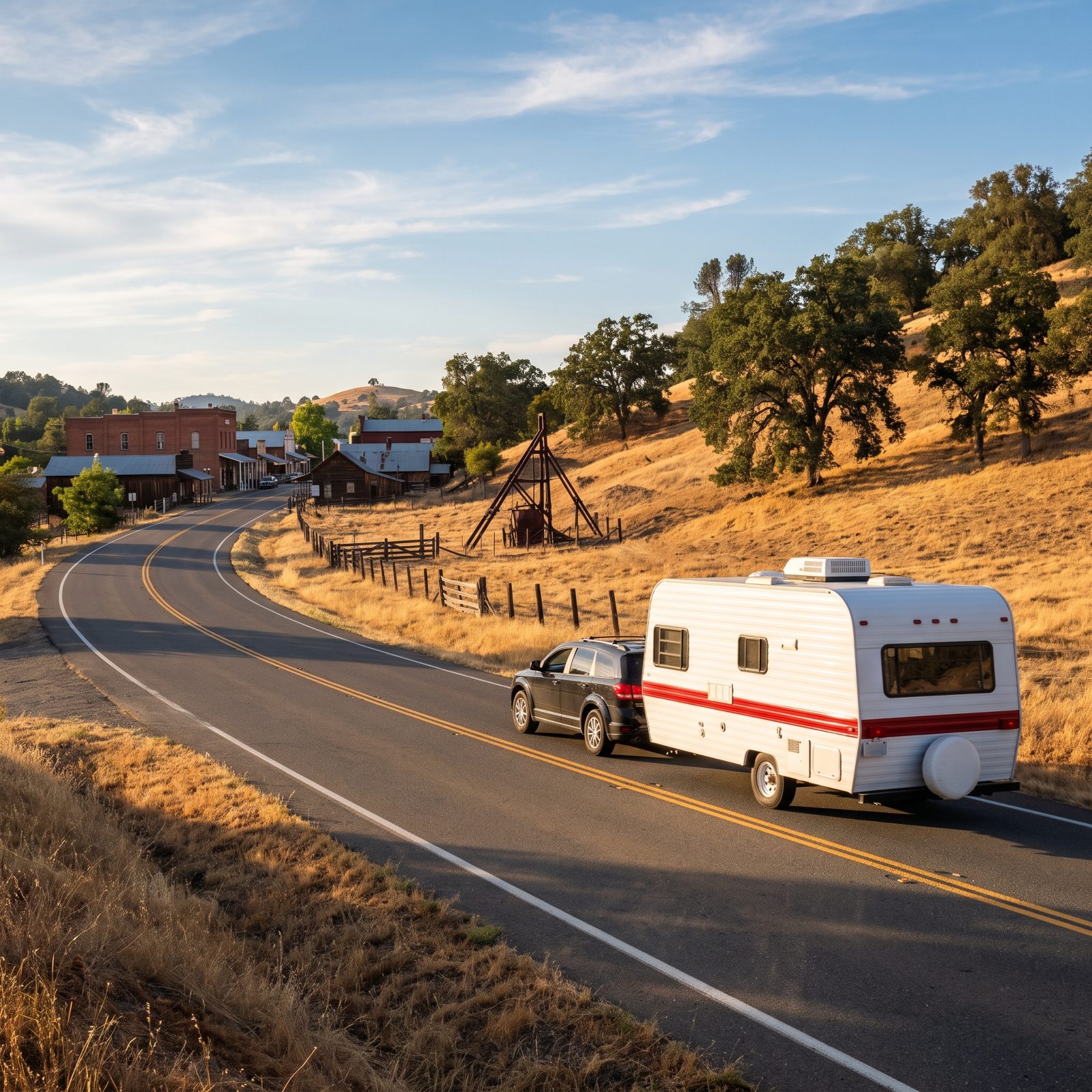
Highway 49 runs the length of California’s Gold Country, named for the year the rush began, and it strings together mining towns that mostly refused to disappear. Nevada City, Sutter Creek, Angels Camp — their brick storefronts and board sidewalks still standing from the 1850s.
The road is a two-lane that writhes through the Sierra foothills, all curves and short grades. It rewards a patient driver and punishes an impatient one. A big fifth-wheel will feel it on the tighter sections, so a mid-size rig is the sweeter choice here.
Summer in the foothills runs hot and dry, often into the 90s, so a shaded campground with hookups and working air conditioning matters more than the view on this one. Spring is the window locals keep to themselves — hills still green, grass not yet gone gold.
1. Blue Ridge Parkway: Virginia to North Carolina on America’s Favorite Scenic Drive
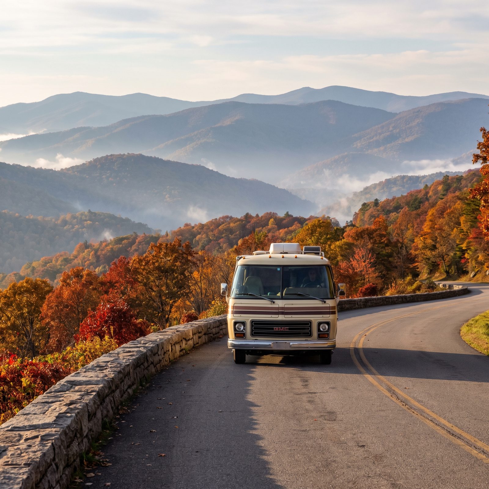
The Blue Ridge Parkway runs 469 miles from Shenandoah down to the Great Smokies, and it was built for exactly this: slow, scenic driving with an overlook every few miles and a 45 mph speed limit nobody minds. First-timers land on it for good reason.
Two things trip people up. The parkway has 26 tunnels, and several carry clearances that will scalp a tall rig, so check each height against your roofline before you commit. And there’s no fuel on the parkway itself. You exit to gas up, then rejoin.
National Park campgrounds like Peaks of Otter and Julian Price sit right off the road, forested and quiet, most without hookups. Stretch the drive over several days. Rushing the Blue Ridge is like gulping good coffee — technically possible and entirely beside the point.