

Helene rearranged a lot of these roads, and the maps haven’t caught up. Some sections reopened in October 2026 after two years of silence, while others are still closed, still one-laned, still waiting on repair crews grinding through a mountain winter. So this isn’t a dreamy list of pretty asphalt. It’s a working list of where you can actually point a motorhome right now, what the grades and tunnels do to a tall rig, and which stretches to check on DriveNC before you commit. We drove and researched these with a trailer in mind. The views earn the hassle. The surprises do not.
Please note that some of the images in this article were created with the assistance of AI.
12. Blue Ridge Parkway: Blowing Rock to Linville Falls (High Country)
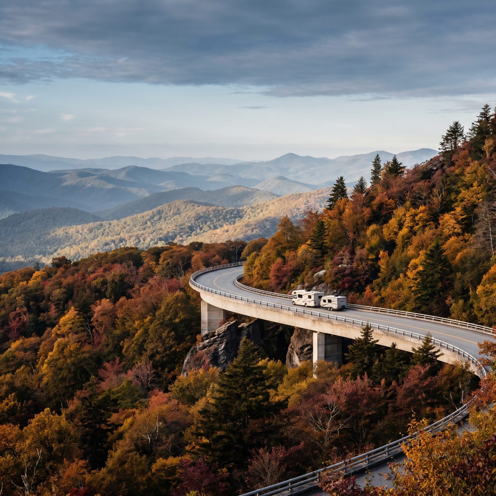
Start here because it’s the easiest win in the High Country right now. The Linn Cove Viaduct at Milepost 304 wraps around Grandfather Mountain on 1,243 feet of raised concrete, and it’s the piece that finally closed out the whole Parkway back in 1987 after years of head-scratching over how to build it. You drive it. You don’t drive under anything, which already puts it ahead of half this list.
As of the October 2026 reopenings, you can roll from Virginia all the way down to Little Switzerland around Milepost 344 without a hard stop. Julian Price Campground reopened its loops in fall 2026. That gives you an actual base on the Parkway instead of a long shuttle up from some valley RV park.
11. Blue Ridge Parkway: Asheville to Cherokee (Mind the Tunnels)
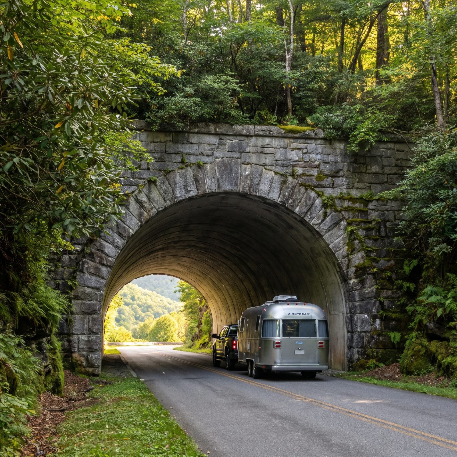
This is the roughly 87-mile southern run through western North Carolina, ending at US 441 on the line between the national park and the Eastern Band of Cherokee’s Qualla Boundary. The highest point on the entire Parkway sits here at Richland Balsam, 6,053 feet, and your engine will feel every foot of it under a loaded rig.
Now the part nobody flags until a cab-over roofline is inches from stone. 25 of the Parkway’s 26 tunnels are in North Carolina, and most of them sit on this segment. Big Witch Tunnel near Milepost 461 has the lowest clearance, 11 feet 7 inches at the edge. Note I said at the edge. The arch curves, so a tall rig hugging the shoulder loses height fast.
As of October 2026, 458 of the Parkway’s 469 miles are open. The one gap, Mileposts 344.2 to 355.3, is north of this segment, so it won’t bite you here.
10. Mount Mitchell Spur (NC 128): The Highest Point East of the Mississippi
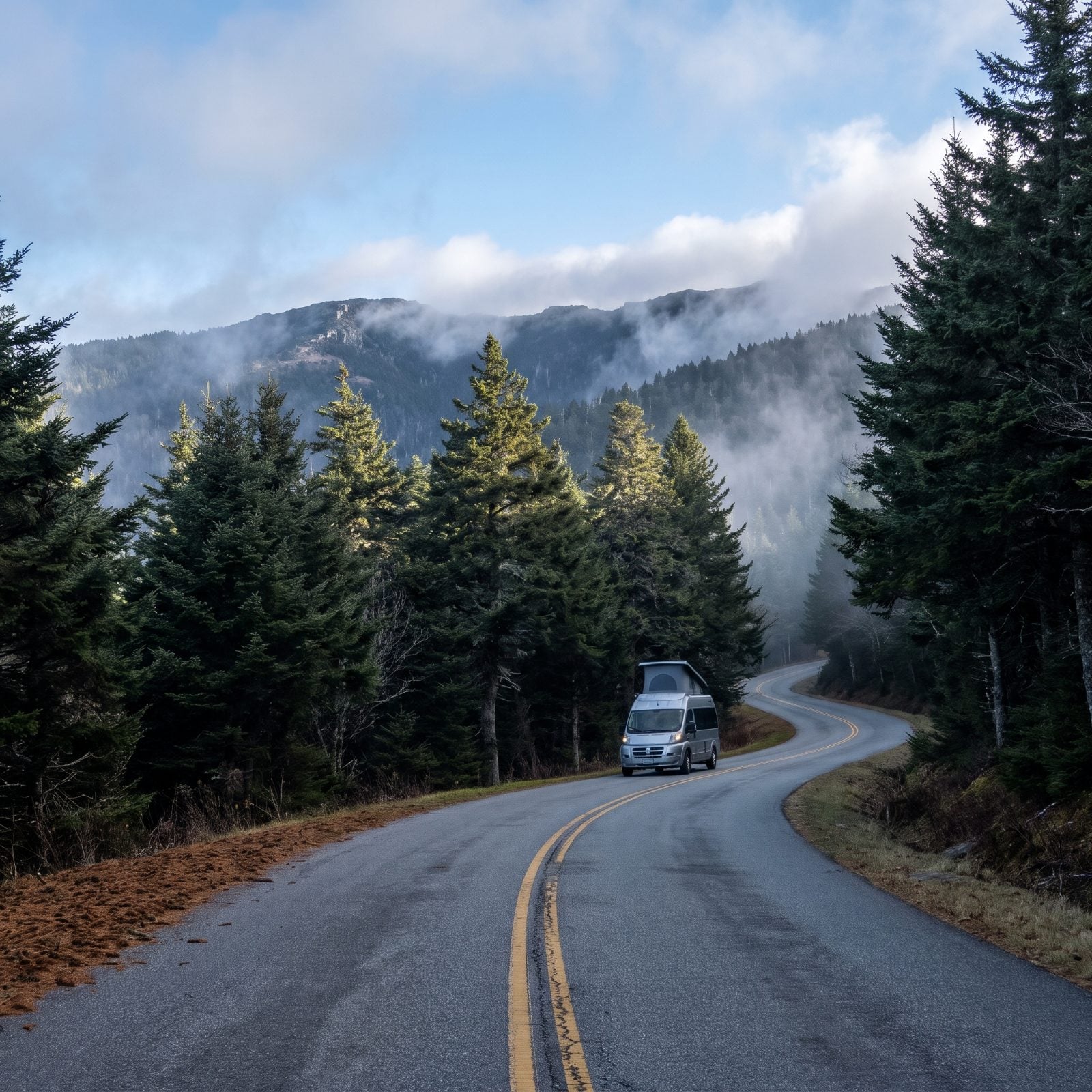
At 6,684 feet, Mount Mitchell is the highest peak east of the Mississippi, and NC 128 carries you most of the way to the top from Blue Ridge Parkway Milepost 355. The state park reopened September 15, 2025, its first season back after Helene shut it hard.
Read this part slowly, because it’s where RVers get turned around. You can only reach the spur from the Asheville side right now. Come up from the south on the Parkway, Milepost 382 heading north to 355.3. The 11 miles between NC 80 and the park, Mileposts 344.2 to 355.3, stay closed, with NPS targeting a reopening by the end of 2026.
9. Newfound Gap Road (US 441): A Free All-American Road Through the Smokies
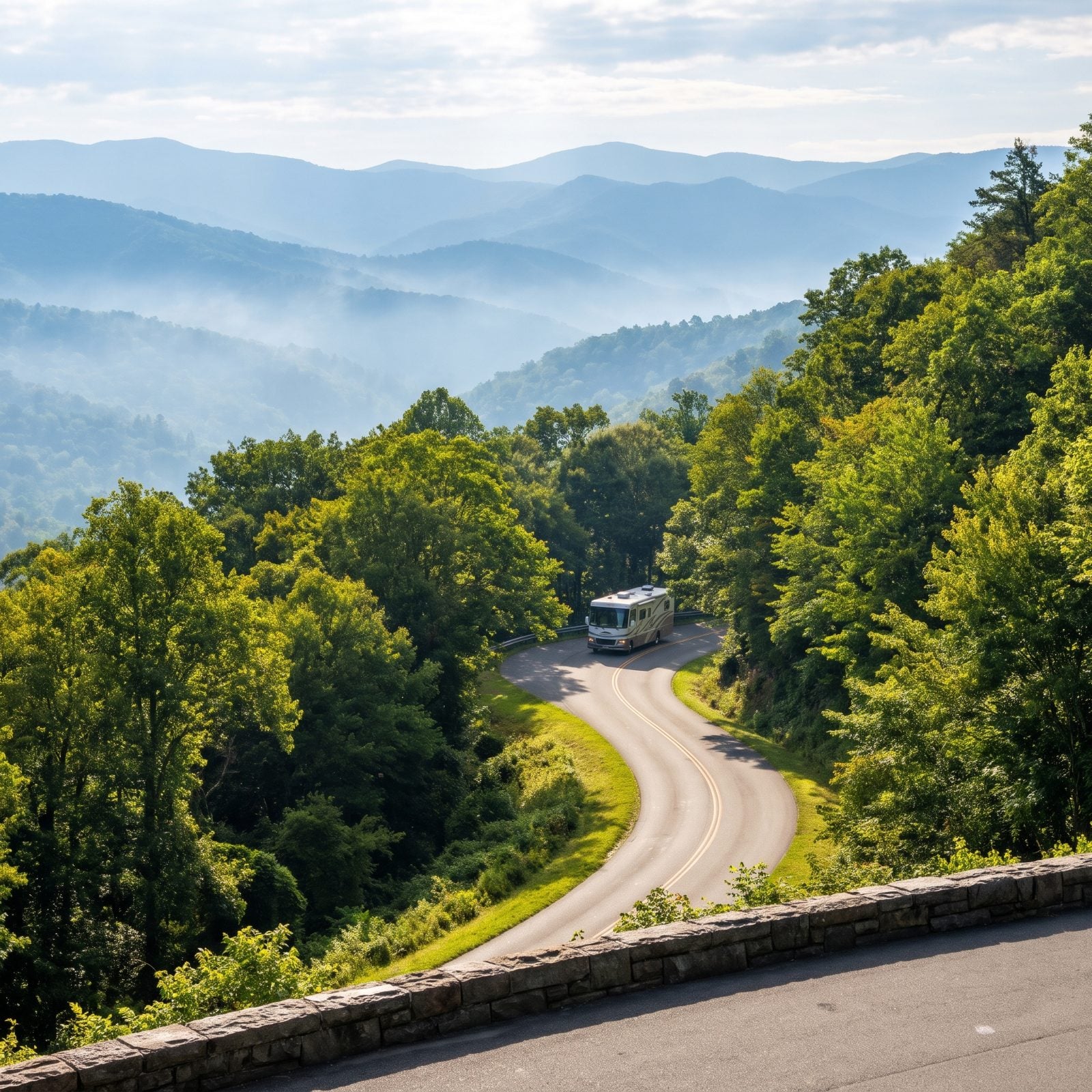
One of only two All-American Roads in North Carolina, the other being the Parkway itself. Newfound Gap Road runs entirely inside Great Smoky Mountains National Park, starting where the Parkway meets US 441 and climbing to the Tennessee line at the gap.
The North Carolina side gives you the Oconaluftee Visitor Center and Mingus Mill, both worth a stop with a rig because the lots can handle them. NPS keeps this road open year-round, weather permitting, which in the Smokies means an honest maybe come January.
The 7-mile Kuwohi Road, the old Clingmans Dome Road, branches off and runs April 1 to November 29 in 2026. It’s narrow. It’s tight. Scout parking before you commit a long rig up there, or just leave the trailer at the visitor center and go light.
8. Cherohala Skyway (NC 143): The Costliest Road North Carolina Ever Built
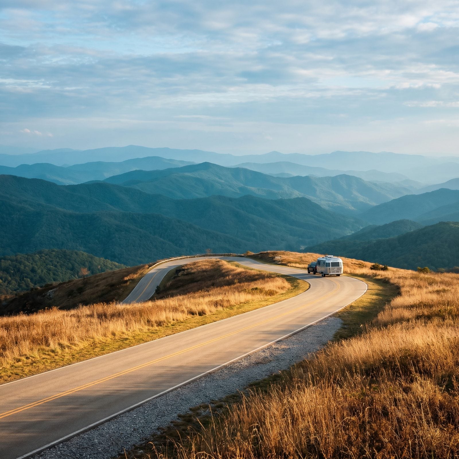
Forty-three miles from Robbinsville, North Carolina, over to Tellico Plains, Tennessee, with the North Carolina stretch running as NC 143. It climbs from 2,660 feet to 5,390 feet in just over 10 miles, which is a wall of a grade, and it was the most expensive road the state ever paved.
What you get for that climb is almost no sign of human development in any direction. Just ridge after ridge after ridge. Pack a layer, because the air up top can run 20 degrees colder than the valley you left. NCDOT listed it open after Helene. The drive keeps going into Tennessee, so plan the North Carolina half as your scenic prize and treat the state line as the turnaround if you’re loop-shy.
7. Outer Banks Scenic Byway (NC 12 & US 70): Check This One Before You Hitch Up
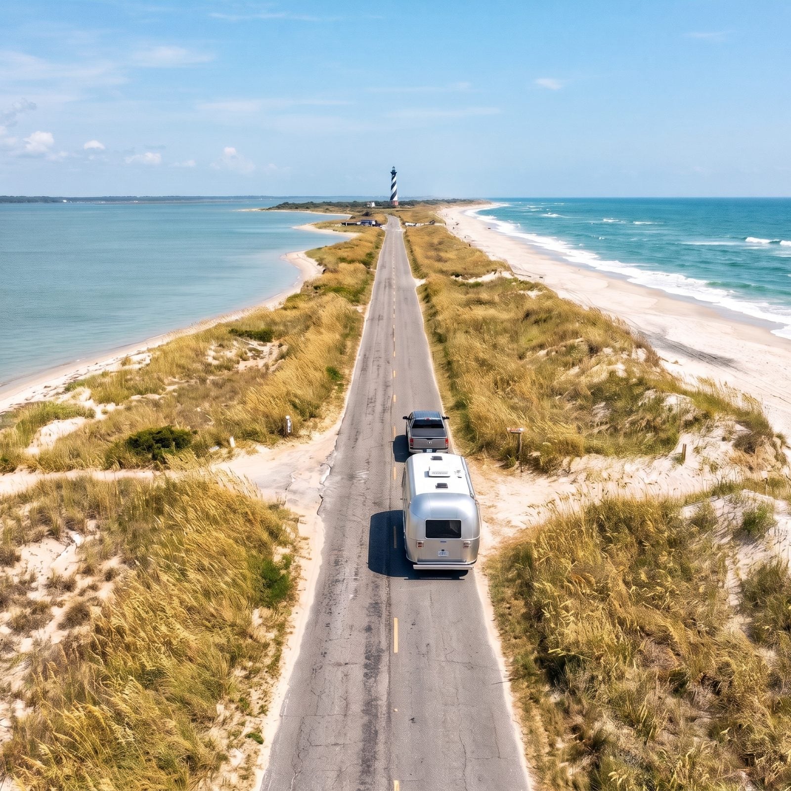
On a good year this National Scenic Byway, designated in 2009, strings together about 138 miles of fishing villages, lighthouses, and ferry crossings along US 70 and NC 12, with boats connecting the mainland to the barrier islands.
This is not a good year for the whole thing. As of late October 2026, NC 12 is closed between the Marc Basnight Bridge and Rodanthe after nor’easter damage. Dare County has banned visitors to Hatteras Island, and ferries are running limited service for essential travel only.
The ocean reshapes this road on its own schedule, and NC 12 is forever one storm from a detour.
So treat the coast as a dream for now, not a plan. Recheck DriveNC and the ferry schedules close to any trip. The southern villages may open before the Hatteras stretch does.
6. Forest Heritage Scenic Byway: A 79-Mile Loop Through Pisgah
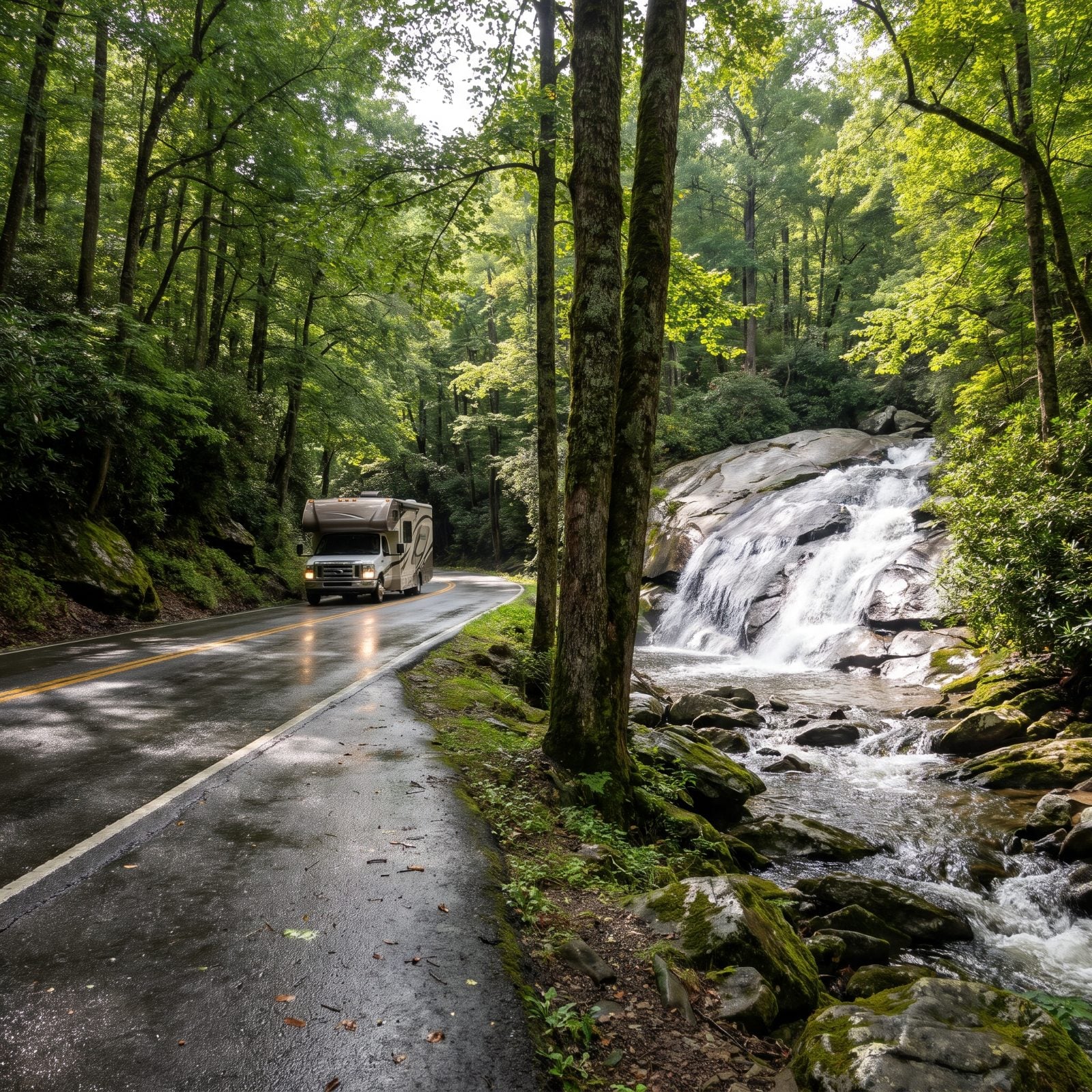
A proper loop, which matters when you’re towing and hate backtracking. This 79-mile National Scenic Byway loops along US 276, NC 215, and US 64 through Pisgah National Forest and nearby countryside, serving up the Cradle of Forestry, a string of waterfalls, swimming holes, trails, and overlooks along the way.
NCDOT listed it open after Helene. The payoff is variety: you’re not staring at one kind of view for an hour. One mile it’s dense hardwood tunnel, the next it’s a cascade right off the shoulder. Fall color here gets packed, so if you want a weekday with elbow room, go early in the week.
5. Waterfall Byway (US 64): Nearly 200 Waterfalls, One Gorge to Respect
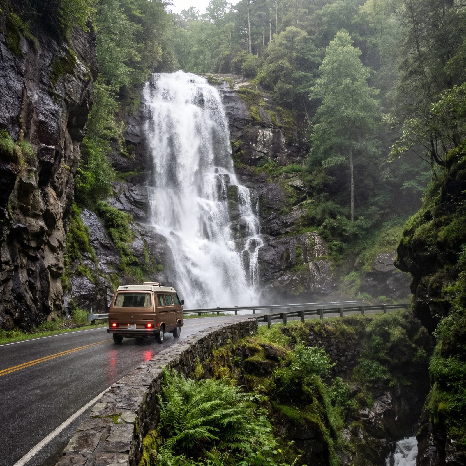
Ninety-eight miles of US 64 from Rosman near Brevard west to Murphy, crossing five of the state’s westernmost counties, named for the roughly 200 waterfalls near the route. NCDOT listed it open after Helene.
The headline is Cullasaja Falls, visible right from the road 8.8 miles west of Highlands. It sits in the Cullasaja Gorge, a narrow cliff-hugging stretch between Highlands and Franklin, and this is the part to think hard about before taking a long rig through. Thin shoulder. Tight curves. A drop that doesn’t forgive. Big rigs take that gorge slow and steady, or route around it entirely if you’re pulling something long. The waterfall will still be there, and so will your mirrors.
4. Nantahala Byway (Nantahala Gorge): A River Running at Your Window
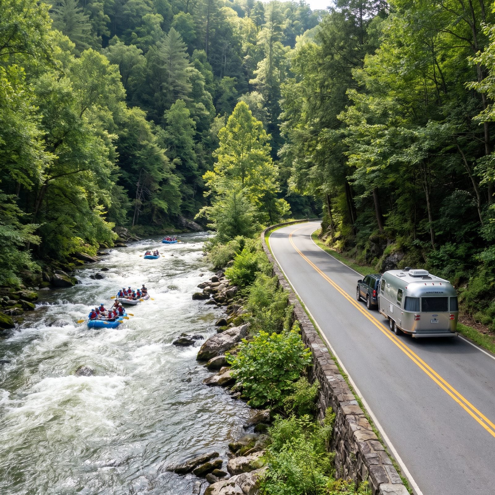
This state scenic byway follows US 19/74 for about 43 miles from Bryson City to Marble, with roughly 20 of those miles threading the Nantahala Gorge, where the river runs right beside the pavement.
You’ll pass rafting and zipline outfitters stacked along the gorge, and the road itself is a comfortable two-lane without the white-knuckle grades of the high byways. NCDOT listed it open after Helene. Want a scenic drive that doesn’t punish a loaded rig? This is one of the gentler ones on the list, and watching rafts bounce through the rapids out your passenger window never gets old.
3. Whitewater Way (NC 281): The Tallest Falls East of the Rockies
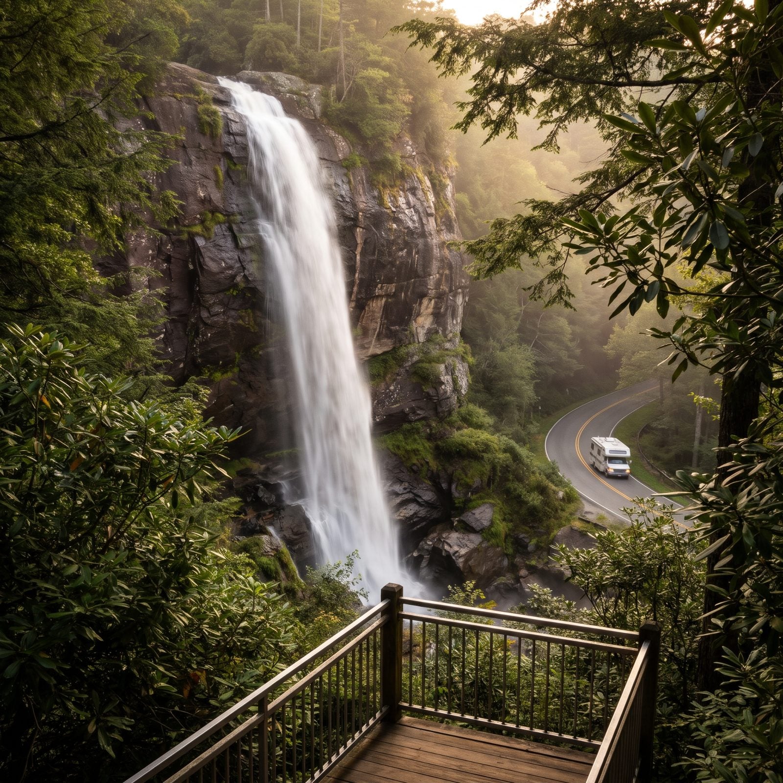
Short and worth it. This 9-mile byway runs NC 281 from US 64 near Sapphire south to the South Carolina line, named for Whitewater Falls, the tallest waterfall east of the Rockies, with close to 20 more falls scattered along the way.
NC 281 is a true two-lane mountain highway, so keep your speed honest and your rig tight to the lane. NCDOT listed the byway open after Helene. It’s a satisfying add-on to a Highlands or Cashiers swing rather than a destination you’d cross the state for, but if you’re already down in the southwestern corner, the falls more than earn the detour. And a reminder for every drive here: pull up DriveNC.gov the morning you roll out. These mountains keep rewriting their own maps.
2. Hickory Nut Gorge on US 64/74A: Chimney Rock, Lake Lure, and a Canyon That Came Back
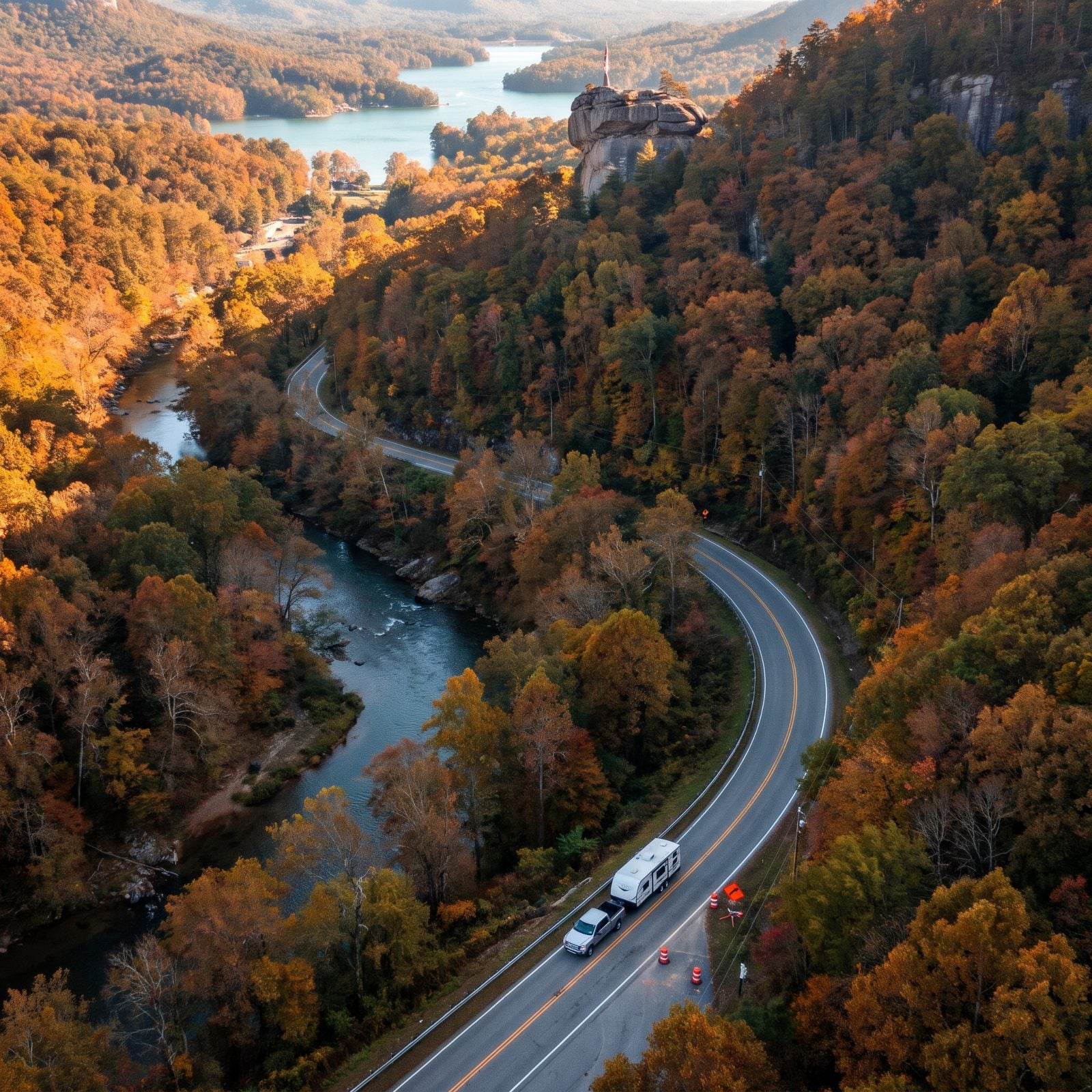
This is the comeback story on the list. Picture a 14-mile canyon cut as deep as 1,800 feet through the Blue Ridge, with the road running right past Chimney Rock and Lake Lure. Then Helene came through and tore it up. NCDOT reopened US 64 into Bat Cave on March 28, 2026, and announced the reopening of US 64/74A between Bat Cave and Chimney Rock that July, and by summer the lake had filled back in.
Now the catch, if you’re pulling anything long. There are one-lane controls with temporary signals while the long-term repairs grind on, so you’ll sit at a light with your rig idling more than once. And Chimney Rock State Park wants reservations — don’t just roll up expecting a spot, because you won’t get one.
1. Fontana Byway on NC 28: From Deals Gap to the Old Cherokee Town of Cowee
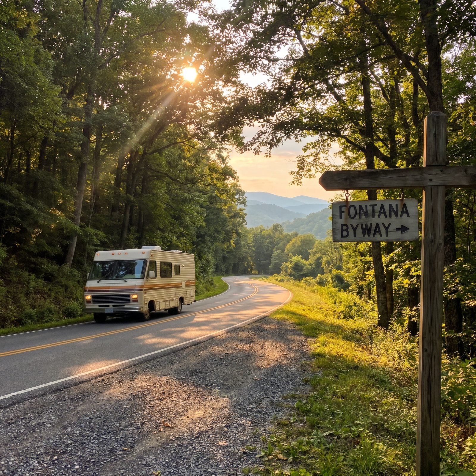
The quiet one. This state scenic byway follows NC 28 from Deals Gap down to Cowee, the historic Cherokee town, and it’s a far cry from the circus on the Parkway or the bumper-to-bumper crawl through the Smokies. That’s most of why you’d come. NCDOT has it listed as open after Helene.
One thing about Deals Gap: it’s motorcycle country, the jumping-off point for the notorious Tail of the Dragon just over the line. Expect two-wheeled traffic and tight turns. NC 28 is a mountain two-lane — take it at your own pace, wave the sport bikes on by, and don’t let some guy in a hurry push you around a blind curve with a trailer hanging off your bumper. Confirm current road status on DriveNC.gov before you roll.